
What is recorded here
Two-storey house with attic and basement on slight prominence overlooking inlet in NE corner of Bantry Bay. Building of T-plan; E arm (20.6m N-S;7.5m E-W) with right-angle projection (14.4m E-W; 8.1m N-S) to W set just N of centre. Eastern arm converted into country house (CO105-02002-) but now derelict; W arm converted to farm buildings, now also derelict. Original window and door opes adopted to take wooden frames or blocked up. E arm now entered by first floor door in centre of E wall with approaching stairway. Interior divided into three units by inserted partition walls with wooden stairway in central part (now fallen). Basement under central and eastern units; steps down at N end from front doorway to semi-basement kitchen. Access not gained to floors above. N and S gables missing original stacks. S basement has pair of gun loops. Bartizans, much obscured by ivy, at first floor level in SE and NE corners. W arm had series of lean-to structures built inside it, partition walls of which survive. Ground floor fireplace in N wall with stack projecting on outside wall; rising full height of building to gable, flanked by second gable on S wall. Both these and main gable on W wall have original shaped masonry stacks with stepped, projecting caps. Bartizan on SW corner at first floor level; built in two units so that corner of building not obscured, each side held by two corbels, stone caps on top. House built in early decades of 17th century; described by Lewis as "the stronghold of Sir Owen O'Sullivan" (1837, 166) who held the lordship of Bear after the fall of Dunboy and died in 1616 (O Murchadah 1985, 309).
The above description is derived from the published 'Archaeological Inventory of County Cork. Volume 1: West Cork' (Dublin: Stationery Office, 1992). In certain instances the entries have been revised and updated in the light of recent research.
Date of upload/revision: 14 January 2009
A local castle; wider significance not recorded.
The monument record does not grant public access. Check the route and ask the landowner before entering private land.
- What survives
- Recorded monument
Places near here
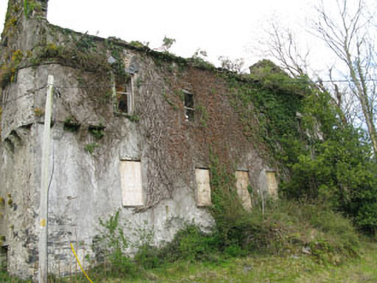 Reendisert Courtcastle/fortified house · 12 yd
 Ballylickey BayBay · 595 yd
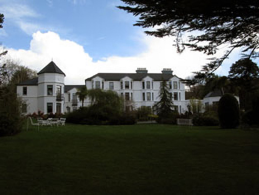 Seaview House Hotelhouse · 711 yd
 Man-made underground passage in GortagarryMan-made underground passage · 1005 yd
 Burial GroundBurial ground · 1037 yd
 Snave StrandBeach / strand · 1345 yd
 Eagle PointHeadland · 1424 yd
 Chilean myrtleChilean myrtle · 1.1 mi
 Daly's LoopWalking route · 1.3 mi
 Japanese cedarJapanese cedar · 1.3 mi
 Horse IslandIslet · 1.8 mi
 Coomhola Salmon Trust (Streamscapes)Museum · 1.9 mi
Other information
Photo: Credit not shown in the picture search · Rights wording not checked; contact us if this picture should be removed