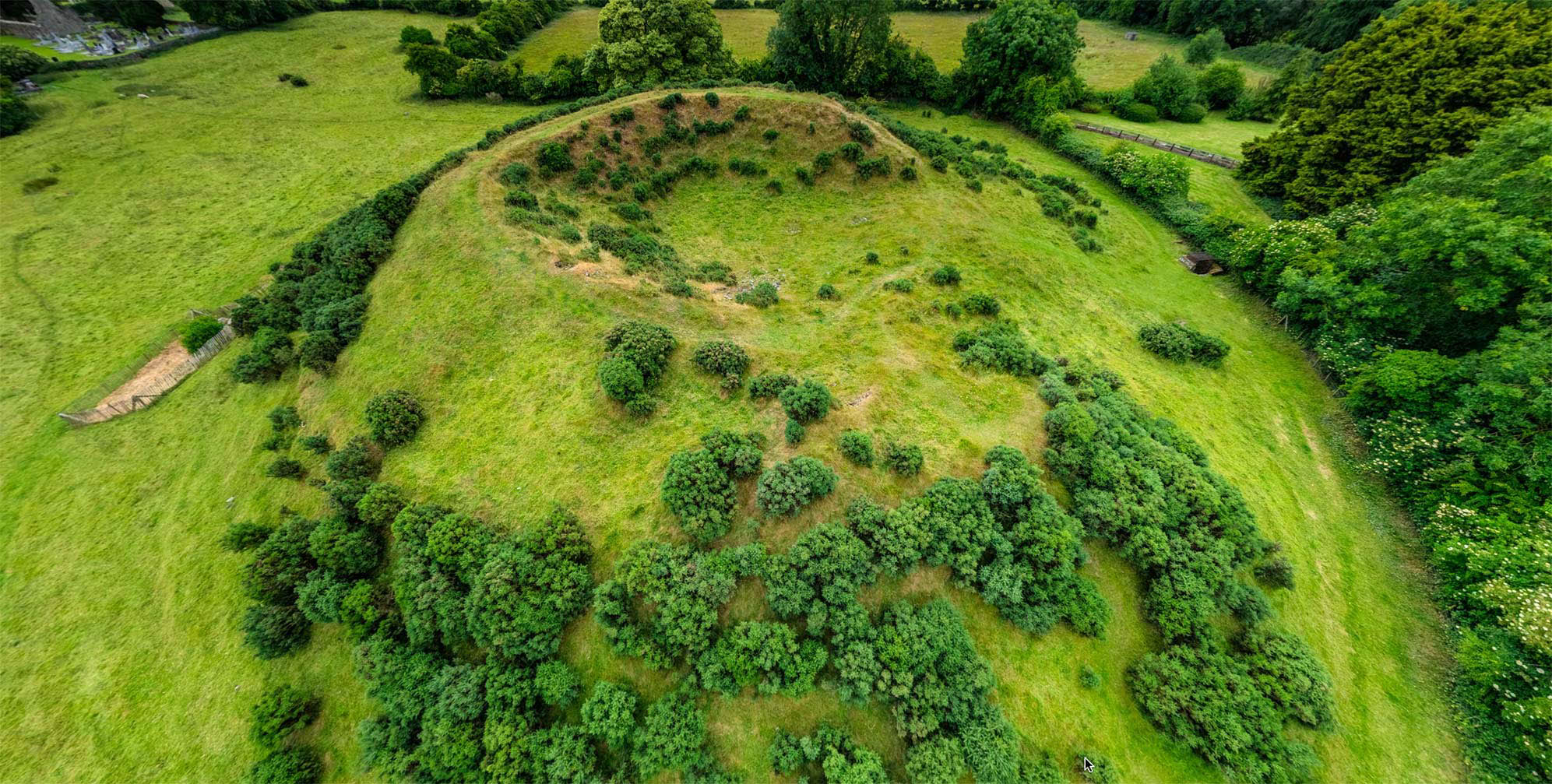
What is recorded here
Single stone markers (30 plus) under a single oak tree near S edge of a pasture field. Known locally as a famine burial ground.
Compiled by: Matt Kelleher based on information supplied by Davis Myler
Date of upload/revision: 27 March 2023
A local ancient tomb; wider significance not recorded.
The monument record does not grant public access. Check the route and ask the landowner before entering private land.
- What survives
- Recorded monument
Places near here
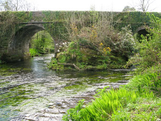 Lisheen Bridgebridge · 1448 yd
 Rose Cottagehouse · 1521 yd
 Daly's LoopWalking route · 1675 yd
 Enclosure in Lisheen (bantry By.)Enclosure · 1746 yd
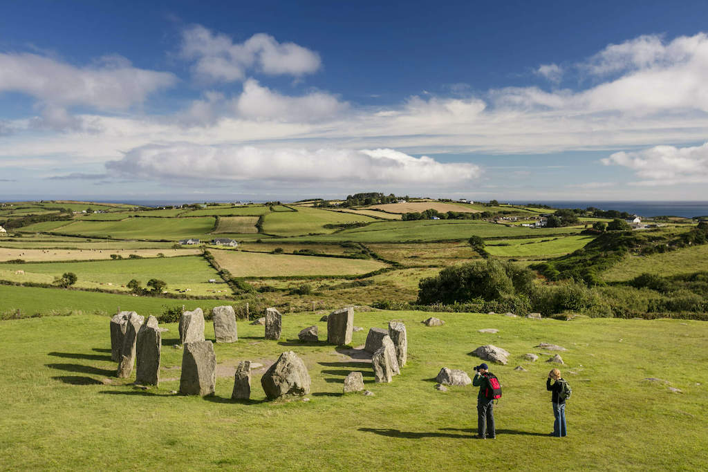 StonesBoulder-burial · 1759 yd
 Coomhola Salmon Trust (Streamscapes)Museum · 1.3 mi
 Snave StrandBeach / strand · 1.4 mi
 Bulls PocketMountain / peak · 1.7 mi
 Castle (in Ruins)House, fortified house · 1.7 mi
 Ballylickey BayBay · 2.1 mi
 Carriganass CastleCastle · 2.1 mi
 Snave BayBay · 2.3 mi
Other information
Photo: Credit not shown in the picture search · Rights wording not checked; contact us if this picture should be removed