What is recorded here
No amount of thinking will add what is missing. Force a narrative and you manufacture the very fiction you are trying to avoid.
Located on a slight rise towards the bottom of a N-facing slope with the headwaters of a small N-S stream c. 80m to the W. A circular embanked enclosure (ext. diam. c. 35m) is depicted only on the 1836 edition of the OS 6-inch map where it is described in gothic lettering as a ‘Fort’. This is a grass-covered circular area (diam. c. 36m N-S; 33m E-W) defined by a slight scarp (Wth 3.5m; H 0.7m). It has no visible fosse or recognizable entrance but it is bisected by a WNW-ESE field wall.
The above description is derived from the published 'Archaeological Inventory of County Meath' (Dublin: Stationery Office, 1987). In certain instances the entries have been revised and updated in the light of recent research.
Compiled by: Michael Moore
Date of revision: 31 October 2018
The monument record does not grant public access. Check the route and ask the landowner before entering private land.
- What survives
- Recorded monument
Places near here
 Cross in RahardCross · 550 yd
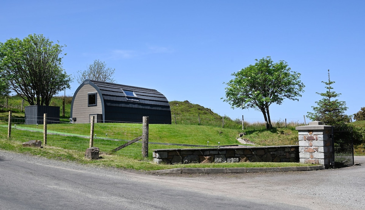 Enclosure in RahardEnclosure · 631 yd
 Oliver Plunkett memorialMemorial · 1233 yd
 Drumlerry WetlandForest · 1296 yd
 Earthen TumulusCastle, motte · 1.1 mi
 Slieve Na CalliaghMountain / peak · 1.7 mi
 Loughcrew Megalithic TombsHeritage attraction · 1.7 mi
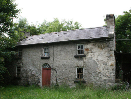 Behernagh Housefarm house · 1.7 mi
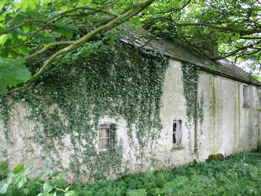 farm housefarm house · 1.7 mi
 Site of Old CastleCastle, unclassified · 1.8 mi
 LoughcrewMegalithic tomb cemetery · 2.4 mi
 Largan WoodWood · 2.5 mi