What is recorded here
In improved pasture, rough and poorly drained in places, situated on a higher part of the field. A standing stone (TS059-096----) is located c. 280m to the N. An upright limestone orthostat (H 1.45m), rectangular in plan (L 0.4m; max. T 0.25m) and orientated with long axis N-S. The stone is generally flat-topped with a slight tilt to the E and has smooth corners worn by livestock. It is surrounded by a gentle hollow (dims. 4m E-W; 3.5m N-S) caused by livestock.
Compiled by: Jean Farrelly
Date of upload: 26 August 2011
The monument record does not grant public access. Check the route and ask the landowner before entering private land.
- What survives
- Recorded monument
Places near here
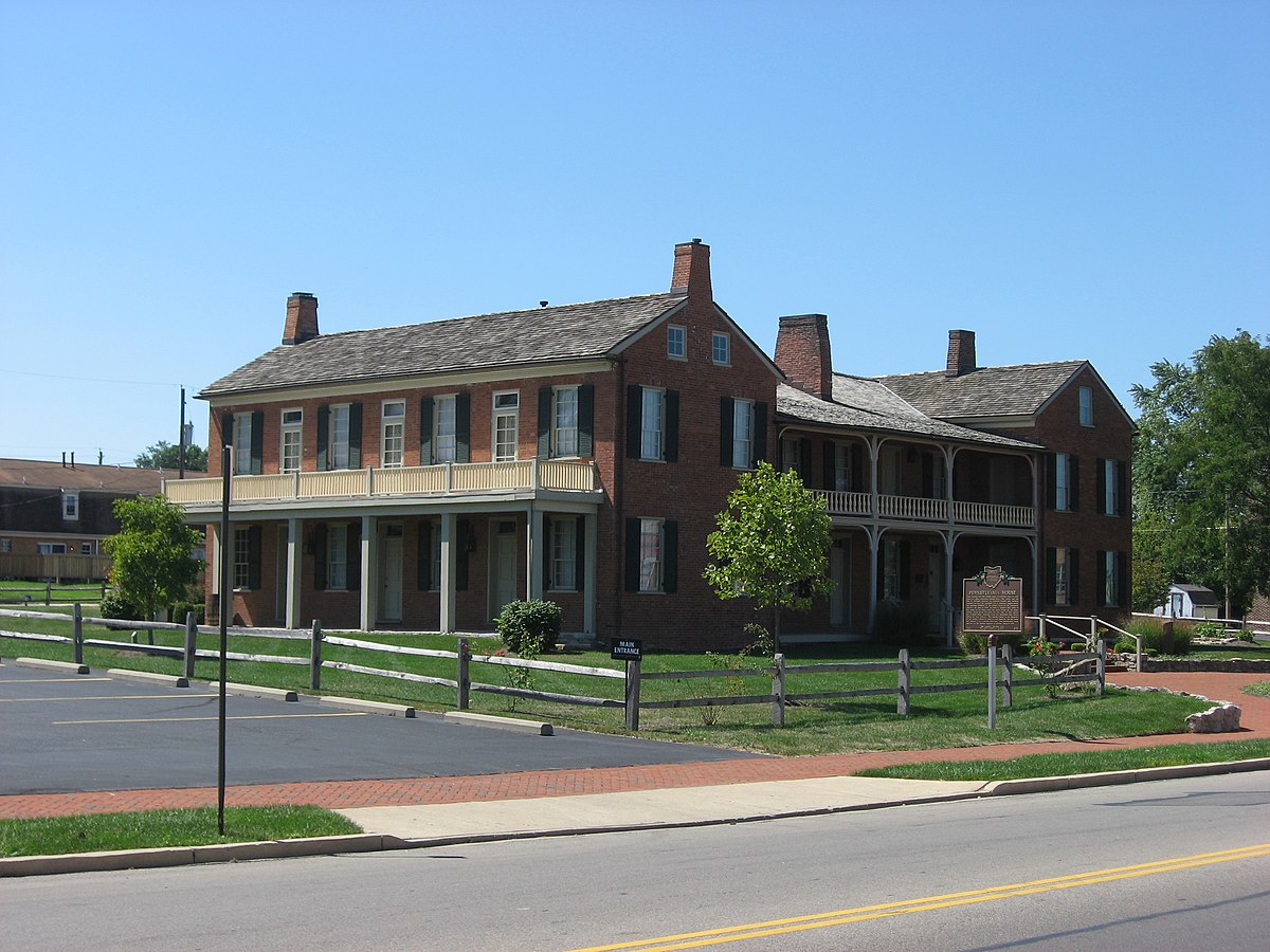 Enclosure in Springfield (tipperary Par.)Enclosure · 685 yd
 Mutton Pie HillCastle, motte · 689 yd
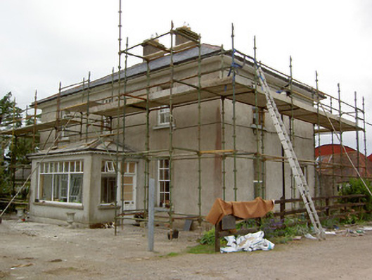 Greenrath Househouse · 796 yd
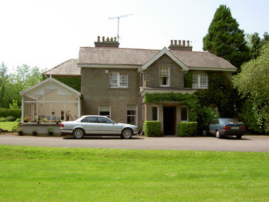 The Valehouse · 905 yd
 MoatCastle, motte and bailey · 1032 yd
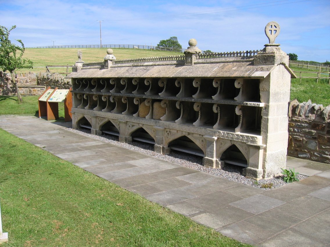 Enclosure in SadleirswellsEnclosure · 1091 yd
 The Maid of ErinMemorial · 1583 yd
 It's a long way to TippereryHeritage attraction · 1669 yd
 I.R.A. 3rd. Tipperary Brigade MemorialMemorial · 1.4 mi
 European ashEuropean ash · 3.2 mi
 The RockViewpoint · 3.3 mi
 Christ the KingViewpoint · 3.8 mi