What is recorded here
Formerly situated on a gentle NE-facing slope with a N-S stream c. 180m to the NE, and within the grounds of a school. The stone has being moved to a position immediately outside the S of the school yard, towards the W end (see WA015-120----) (Scully 2018, Unpublished archaeological testing report). This is a conglomerate stone with a diamond-shaped cross-section and oriented E-W (dims. c. 1.1m x c. 0.5m; H 1.55m) with a pointed top. An IHS inscription over an incised chalice and the date 1831 is visible on one face. The adjacent NE-SW field bank just to the SE in 1989 curved to avoid the stone. This field bank was subsequently removed when the school and enclosing wall around the school yard were built.
The above description is derived from the published 'Archaeological Inventory of County Waterford' (Dublin: Stationery Office, 1999). In certain instances the entries have been revised and updated in the light of recent research.
Compiled by: Michael Moore and Jean Farrelly
Date of upload/revision: 24 April 2018
Probably dating to the Late Neolithic or Bronze Age, this standing stone may have once marked a boundary, served a ritual function, or aligned with seasonal solar events. Local folklore or specific use is not recorded.
The monument record does not grant public access. Check the route and ask the landowner before entering private land.
- What survives
- Recorded monument
Places near here
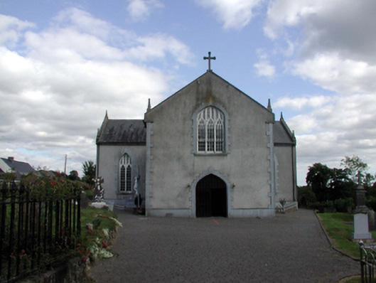 Saint Anne's Catholic ChurchOfficially recorded historic building · 299 yd
 Holy WellHoly well · 345 yd
 Embanked enclosureFairy fort / earthen ringfort · 1559 yd
 Castle (in ruins)Castle, unclassified · 1.3 mi
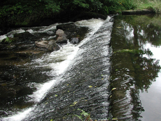 weirweir · 1.6 mi
 Site of Cas.Castle, unclassified · 1.7 mi
 8 Arch GalleryGallery · 1.7 mi
 Croughaun HillMountain / peak · 2.1 mi
 Kilclooney WoodForest · 2.3 mi
 Crough WoodWood · 2.5 mi
 Magic Road (finish)Heritage attraction · 3.1 mi
 LackaduffMountain / peak · 3.7 mi