What is recorded here
Limestone standing stone (max. H c. 1.2m, W at base 0.5m N-S, c. 1m E-W) in low lying area. Slopes upwards from E to W.
Situated on wet marshy land with good views in all directions. Triangular shaped stone (H 1.2m; 1.14m x 0.5m) with tapering top from E to W with inscription on its face which reads D.H 1876.
The above description is derived from the published 'Archaeological Inventory of County Offaly' (Dublin: Stationery Office, 1997). In certain instances the entries have been revised and updated in the light of recent research.
Date of upload: 23 May 2011
Likely dating to the Neolithic or Bronze Age, this standing stone may have functioned as a territorial marker or ceremonial feature. Its position on elevated, marshy ground suggests a possible role in navigation or ritual activity linked to the landscape.
The monument record does not grant public access. Check the route and ask the landowner before entering private land.
- What survives
- Recorded monument
Places near here
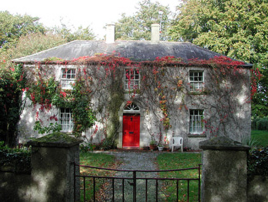 farm housefarm house · 1122 yd
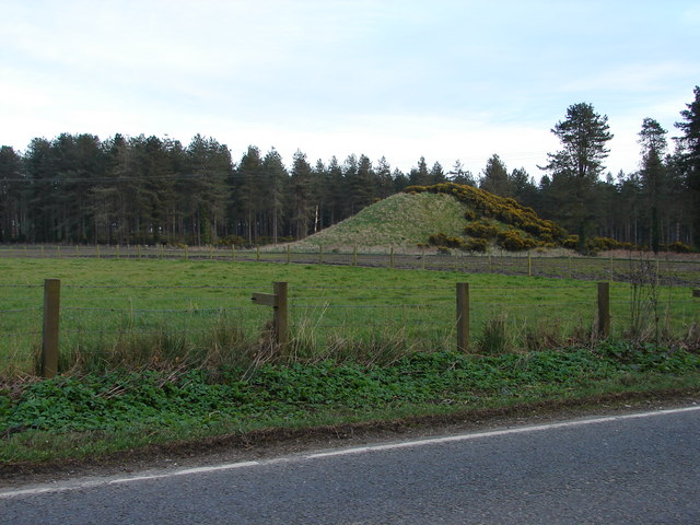 MoteCastle, motte and bailey · 1661 yd
 Enclosure in DrumcoolyEnclosure · 1689 yd
 Burial GroundChurch · 1.0 mi
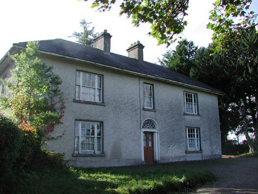 Drumcooly Parkhouse · 1.1 mi
 Blundell Castle (in ruins)Castle, tower house · 1.8 mi
 Sli na Slainte - mapVisitor information · 4.2 mi
 Foran's WoodForest · 4.8 mi
 Horse-chestnutHorse-chestnut · 4.8 mi
 The Fairy BowerHeritage attraction · 4.8 mi
 Lullymore Heritage ParkHeritage attraction · 4.9 mi
 Allen family memorial headstoneMemorial · 6.5 mi