What is recorded here
Fairy fort / earthen ringfort in Sraneeg is a fairy fort or earthen ringfort in Sraneeg, County Westmeath, Ireland. This levelled ringfort sits on an irregular-shaped rise at ninety-one metres above sea level within undulating pasture, offering good views of the surrounding landscape. A 1973 account described the site as having no surface remains visible, while a ringfort conjoined to the northeast is annotated as one of a pair of conjoined oval-shaped earthworks on the 1837 OS Fair Plan map. Today, the levelled ringfort is visible as a small hillock with a vague cropmark of an earthwork on Digital Globe aerial photography.
Situated on an irregular-shaped rise (300ft/91m OD) in undulating pasture, with good views of the surrounding landscape. Ringfort (WM031-072----) conjoined to NE. Annotated 'Forts' on the 1837 OS Fair Plan map and depicted as one of a pair of conjoined oval-shaped earthworks. Levelled monument described in 1973 as no surface remains visible. Levelled ringfort is visible today as a small hillock with a vague cropmark of an earthwork, on Digital Globe aerial photography.
Compiled by Alison McQueen, Vera Rahilly and Caimin O’Brien.
Date of upload: 22 November 2019
The monument record does not grant public access. Check the route and ask the landowner before entering private land.
- What survives
- Recorded monument
Places near here
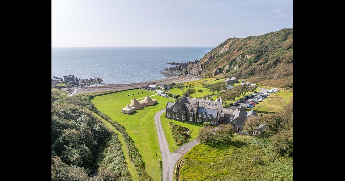 Hachured, RathbaneFairy fort / earthen ringfort · 64 yd
 OutlinedEnclosure · 375 yd
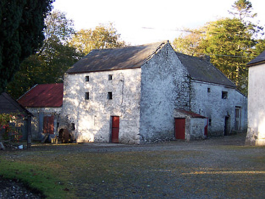 mill (water)mill (water) · 387 yd
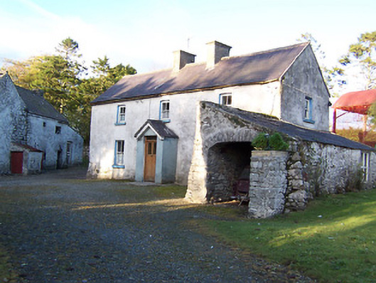 farm housefarm house · 394 yd
 CastleCastle, motte · 1138 yd
 Killalea FortCastle, motte · 1.1 mi
 Sam's ParkForest · 3.1 mi
 Kilmalady HillMountain / peak · 4.2 mi
 Japanese pagoda treeJapanese pagoda tree · 4.2 mi
 ToberaskeenSpring · 6.5 mi
 Charles BianconiMemorial · 7.8 mi
 The Bob Traynor GalleryGallery · 7.8 mi