
What is recorded here
Rathbane is a fairy fort or earthen ringfort in Shanballyduff (Dangandargan parish), County Tipperary, Ireland. The circular area measures about 37 metres north to south and 36 metres east to west. A quarried scarp about 6.7 metres wide and 2.1 metres high defines the remains, but quarrying inside the site makes it difficult to separate the original monument from quarry upcast.
In pasture. Remains of modified circular area (dims. c. 37m N-S; c. 36m E-W) defined by remains of quarried scarp (Wth c. 6.7m; H c. 2.1m). Interior quarried and difficult to determine what is original monument and what is upcast from quarrying activities. 'Rathbane' on first ed. and latest ed. OS 6-inch maps and enclosed by field boundary.
Compiled by: Jean Farrelly
Date of upload: 26 August 2011
The monument record does not grant public access. Check the route and ask the landowner before entering private land.
- What survives
- Recorded monument
Places near here
 Shanballyduff Househouse · 822 yd
 Shanballyduff CastleCastle · 863 yd
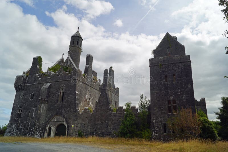 Enclosure in Templenoe (killeenasteena Par.)Enclosure · 1046 yd
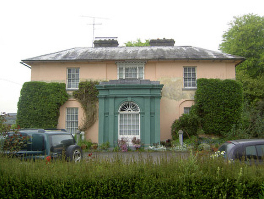 Racecourse Hallcountry house · 1383 yd
 Enclosure in Racecourse DemesneEnclosure · 1557 yd
 Site of CastleCastle, unclassified · 1.3 mi
 Hore AbbeyHeritage attraction · 2.7 mi
 Athassel PrioryHeritage attraction · 2.9 mi
 Caucasian zelkovaCaucasian zelkova · 5.8 mi
 TuliptreeTuliptree · 7.0 mi
 Dangandargan Church (in ruins)Church · 1567 yd
 Enclosure in Shanballyduff (dangandargan Par.),garraun (st. Patricksrock Par.)Enclosure · 1.1 mi
Other information
Photo: Credit not shown in the picture search · Rights wording not checked; contact us if this picture should be removed