What is recorded here
Located on a NE-facing slope. Circular grass-covered area (diam. c. 40m) defined by a low scarp (max. H 0.7m) and slight traces of an external fosse (Wth 7m; int. and ext. D 0.1-0.2m) SW-NE. Much of the perimeter is obscured by spoil SE-SW and the monument is curtailed by field banks at E and W.
The above description is derived from the published 'Archaeological Inventory of County Waterford' (Dublin: Stationery Office, 1999). In certain instances the entries have been revised and updated in the light of recent research.
Date of upload/revision: 23 December 2008
The monument record does not grant public access. Check the route and ask the landowner before entering private land.
- What survives
- Recorded monument
Places near here
 Man-made underground passage in ScartleaMan-made underground passage · 261 yd
 IndicatedEnclosure · 280 yd
 Glen Poer WoodForest · 806 yd
 Water millWater mill, horizontal-wheeled · 1010 yd
 CarrigcoumMountain / peak · 1324 yd
 Ballyclohy Castle (in ruins)Castle, tower house · 1658 yd
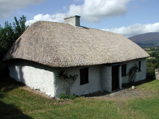 farm housefarm house · 1.4 mi
 Pedunculate OakPedunculate Oak · 1.9 mi
 CarrigeenseebohillaMountain / peak · 2.0 mi
 Glen Castle (in ruins)Castle, tower house · 2.0 mi
 Maurice DavinMemorial · 2.2 mi
 Curraheen TrailsVisitor information · 3.1 mi