
What is recorded here
Within the bank of rath (WA002-017002-) at W. This is an oval beehive chamber (dims. 2.9m E-W; 1.85m N-S; present max. H 1m) with roof lintels closing the chamber E-W. A creep at E (visible L 0.6m) seems to terminate, although it may change direction. A second creep at W leads to an inaccessible oval chamber.
The above description is derived from the published 'Archaeological Inventory of County Waterford' (Dublin: Stationery Office, 1999). In certain instances the entries have been revised and updated in the light of recent research.
Date of upload/revision: 23 December 2008
The monument record does not grant public access. Check the route and ask the landowner before entering private land.
- What survives
- Recorded monument
Places near here
 IndicatedEnclosure · 430 yd
 Enclosure in ScartleaEnclosure · 534 yd
 Glen Poer WoodForest · 857 yd
 Water millWater mill, horizontal-wheeled · 1118 yd
 CarrigcoumMountain / peak · 1258 yd
 Ballyclohy Castle (in ruins)Castle, tower house · 1399 yd
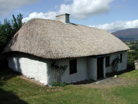 farm housefarm house · 1.4 mi
 Pedunculate OakPedunculate Oak · 1.9 mi
 Glen Castle (in ruins)Castle, tower house · 1.9 mi
 CarrigeenseebohillaMountain / peak · 2.0 mi
 Maurice DavinMemorial · 2.0 mi
 Curraheen TrailsVisitor information · 3.2 mi
Other information
Photo: Credit not shown in the picture search · Rights wording not checked; contact us if this picture should be removed