
What is recorded here
Located on a slight rise in the floodplain of the W-E River Suir and owned by James Everard in 1640 (Simington 1942, 102). The castle is indicated on the Down Survey (1655-6) map and terrier. Built of limestone rubble, roughly coursed (wall T 1.95m excluding base-base) with an external base-batter (H 2.9m; Wth 0.25m). Only the SW wall (L 10.5m), with one double-splay opening, survives to a height of c. 5m with evidence of a barrel vault NW-SE and four corbels to support a loft level are surviving. At the S end of the wall there are the remains of an internal wall (T 0.9m) projecting towards the SE, possibly the internal wall of an entrance lobby. A datestone (WA002-007002-) which reads 'IFE 1676' refers to Ian Francis Everard and is built into the S wall of a house c. 30m to the NNE.
Compiled by: Jean Farrelly
Date of upload: 13 May 2013
Glen Castle was built in the 17th century, likely during the early 1600s, by an unknown constructor, and was held by James Everard in 1640. It is important as it appears on the Down Survey maps, providing evidence of land ownership and settlement patterns in the region during the Cromwellian era.
The monument record does not grant public access. Check the route and ask the landowner before entering private land.
- What survives
- Recorded monument
Places near here
 IndicatedHoly well · 457 yd
 Gloragh WellsHoly well · 521 yd
 Dysart HouseOfficially recorded historic building · 1025 yd
 Ballydine Ho.Castle, unclassified · 1063 yd
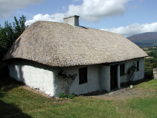 farm housefarm house · 1307 yd
 Maurice DavinMemorial · 1539 yd
 Ballyclohy Castle (in ruins)Castle, tower house · 1.3 mi
 CarrigcoumMountain / peak · 1.4 mi
 Churchtown WoodForest · 1.5 mi
 Pedunculate OakPedunculate Oak · 1.6 mi
 Thomas KielyMemorial · 2.7 mi
 CarrigeenseebohillaMountain / peak · 2.7 mi
Other information
Photo: Credit not shown in the picture search · Rights wording not checked; contact us if this picture should be removed