What is recorded here
In pasture. A stream, indicated on the 1st (1840) ed. OS 6-inch map, flowed roughly N-S, c. 70m to the W, with two ponds to the W and SW respectively, both now filled in. A circular enclosure (diam. c. 28m), clearly defined by a fosse, visible on satellite imagery (DigitalGlobe, imagery date 2005-2012). The enclosure is also clearly visible on Google Earth (imagery date 16 December 2016). A well (TS059-204----) associated with Brian Boru is located c. 90m to the NW and there is an enclosure (TS059-100----) c. 190m to the S and another (TS059-098----) c. 350m to the WSW.
See attached:
TS059-205----_01 DigitalGlobe, imagery date 2005-2012
TS059-205----_02 Google Earth (imagery date 16 December 2016)
Compiled by: Jean Farrelly
Date of upload: 7 March 2023
The monument record does not grant public access. Check the route and ask the landowner before entering private land.
- What survives
- Recorded monument
Places near here
 Enclosure in SadleirswellsEnclosure · 244 yd
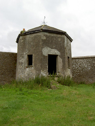 Kingswell Housesummerhouse · 403 yd
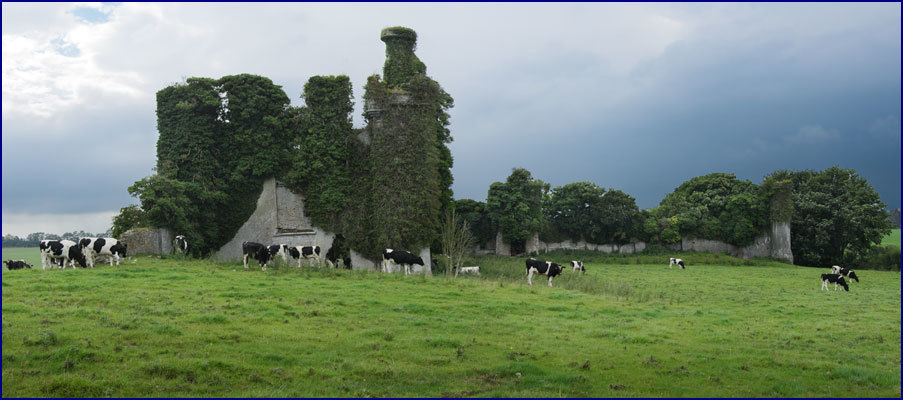 Enclosure in Rathneaveen (ormond)Enclosure · 908 yd
 MoatCastle, motte and bailey · 1108 yd
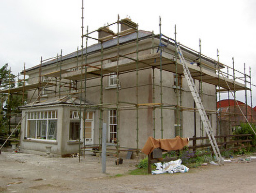 Greenrath Househouse · 1217 yd
 Garranacanty MoatCastle, motte · 1539 yd
 I.R.A. 3rd. Tipperary Brigade MemorialMemorial · 1.1 mi
 It's a long way to TippereryHeritage attraction · 1.3 mi
 Soloheadbeg Ambush SiteMemorial · 1.3 mi
 Soloheadbeg Ambushambush · 1.9 mi
 European ashEuropean ash · 2.3 mi
 The RockViewpoint · 3.7 mi