What is recorded here
Fairy fort / earthen ringfort in Rogerstown is a fairy fort or earthen ringfort in Rogerstown, County Westmeath, Ireland. The 1971 record describes a subrectangular area on a rise in undulating pasture, enclosed by a disturbed and eroded earth and stone bank with an external fosse and an entrance at the east. The bank measured 3.9 metres wide at the top and 2.9 metres at the base, showing slight remains of an internal stone facing at the east-northeast. The fosse was best preserved at the east while obscured on the exterior elsewhere, and the interior held a general south-east-facing slope.
Situated on a rise, in undulating pasture. Monument described in 1971 as a subrectangular-shaped area enclosed by a bank and external fosse with entrance (Wth at top 3.9m; Wth at base 2.9m) at E. The earth and stone bank is disturbed and eroded and has slight remains of an internal stone facing at ENE. The fosse is best preserved at E and elsewhere it is obscured on the exterior. The interior has a general SE-facing slope. The monument is surrounded by field boundaries.
Compiled by Alison McQueen, Vera Rahilly and Caimin O’Brien.
Date of upload: 10 September 2019
The monument record does not grant public access. Check the route and ask the landowner before entering private land.
- What survives
- Recorded monument
Places near here
 OutlinedFairy fort / earthen ringfort · 476 yd
 Dotted outlineFairy fort / earthen ringfort · 634 yd
 CastleCastle, unclassified · 876 yd
 bridgebridge · 1349 yd
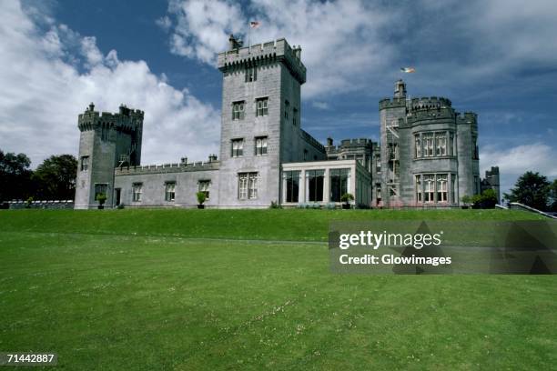 Glomerstown CastleCastle, unclassified · 1403 yd
 Taghboyne Church in ruinsChurch · 1755 yd
 Ancient Ring FortWood · 1.3 mi
 Hill of UisneachMountain / peak · 2.5 mi
 European ashEuropean ash · 3.2 mi
 Bonfire HillMountain / peak · 8.9 mi
 Abbeyshrule AbbeyRuins · 9.4 mi
 Guest ServicesVisitor information · 10.0 mi