
What is recorded here
Situated on a low, rounded rise, in flat, wet pasture, with good view to E. Annotated ‘Castle Ruin’ on Larkin’s 1808 map of Co. Westmeath (NLI, MS 46,580). Levelled monument described in 1978 as no surface remains visible. There is no trace of any wall footings or earthworks which might indicate the presence of a castle in this vicinity. This area is now occupied by a small grove of trees which encloses the remains of an old farmyard. There are two ruined houses and an outbuilding of rubble stone to SW of the castle site.
Compiled by Alison McQueen, Vera Rahilly and Caimin O’Brien.
Date of upload: 05 September 2019
A local castle; wider significance not recorded.
This remains an important historical record, but the official description says the monument is no longer visible or has been destroyed. The monument record does not grant public access. Check the route and ask the landowner before entering private land.
- What survives
- No visible remains or recorded as destroyed
Places near here
 Dotted outlinedFairy fort / earthen ringfort · 337 yd
 Dotted outlineFairy fort / earthen ringfort · 378 yd
 Taghboyne Church in ruinsChurch · 929 yd
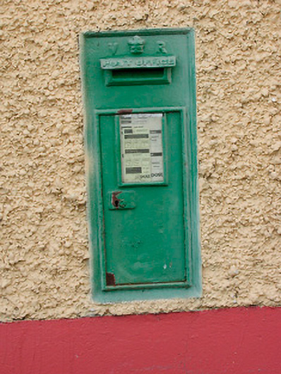 post boxpost box · 1101 yd
 Site of CastleCastle, unclassified · 1434 yd
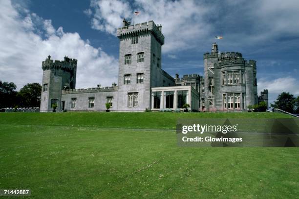 Glomerstown CastleCastle, unclassified · 1.2 mi
 Ancient Ring FortWood · 1.6 mi
 Hill of UisneachMountain / peak · 2.0 mi
 European ashEuropean ash · 2.8 mi
 KnockastiaMountain / peak · 5.5 mi
 Abbeyshrule AbbeyRuins · 9.0 mi
 Bonfire HillMountain / peak · 9.1 mi
Other information
Photo: Credit not shown in the picture search · Rights wording not checked; contact us if this picture should be removed