
What is recorded here
Croughal Castle stands on the summit of a prominent hillock (534ft/163m OD), in pasture with good views in all directions. Depicted on the revised 1913 ed. OS 25-inch map as a roughly circular-shaped mound, annotated ‘Castle (Site of)’. Monument described in 1971 as a pile of stones and a displaced piece of masonry, marks the site of the castle which is surrounded by a complex series of earthworks and scarps that extends into the surrounding fields and which are possibly related to the castle. Oblique aerial photographs (CUCAP AYR013) taken 11/07/1969 shows clearly the extent of the earthworks that surround the castle site. These earthworks are clearly visible today on Digital Globe aerial photographs.
Compiled by Alison McQueen, Vera Rahilly and Caimin O’Brien.
Date of upload: 05 September 2019
Croughal Castle was likely built in the 13th or 14th century by a local Gaelic lord or Anglo-Norman settler, reflecting the strategic control of key high ground in the region. It is remembered for its commanding position and as an example of early medieval hilltop fortifications in the area.
The monument record does not grant public access. Check the route and ask the landowner before entering private land.
- What survives
- Recorded monument
Places near here
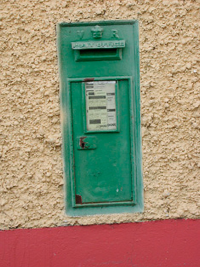 post boxpost box · 603 yd
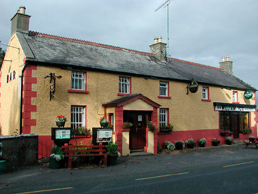 William Foxhouse · 613 yd
 Font (present location) in TogherstownFont (present location) · 684 yd
 Partially indicatedEcclesiastical enclosure · 1119 yd
 CastleCastle, unclassified · 1433 yd
 Boleyvillish CastleCastle · 1755 yd
 Ancient Ring FortWood · 1.5 mi
 Hill of UisneachMountain / peak · 1.6 mi
 European ashEuropean ash · 2.5 mi
 KnockastiaMountain / peak · 5.7 mi
 Abbeyshrule AbbeyRuins · 8.2 mi
 Guest ServicesVisitor information · 8.9 mi
Other information
Photo: Credit not shown in the picture search · Rights wording not checked; contact us if this picture should be removed