What is recorded here
Rock art was recorded on the capstone and the eastern stone of a cist (LH007-137----) discovered during construction work on the Northern Motorway (Excavation Licence No. 98E0615). The art was quite faint and weathered. The eastern stone was not exposed to the elements yet it was weathered significantly which has led to the suggestion that perhaps these stones were reused. The stones are now in Dundalk County Museum. (Lynch 2002, 215-16)
Reference:
Lynch, P. 2002 Crumlin 1. In I. Bennett (ed.), Excavations 2000: summary accounts of archaeological excavations in Ireland, 215-6 (No. 651). Bray. Wordwell.
Compiled by: Claire Breen
Date of upload: 01 December 2011
The rock art on the cist stones at Crumlin likely dates to the Neolithic or early Bronze Age, associated with burial or ritual practices. The faint carvings may represent symbolic or territorial markings, though their specific meaning remains unclear due to weathering.
The monument record does not grant public access. Check the route and ask the landowner before entering private land.
- What survives
- Recorded monument
Places near here
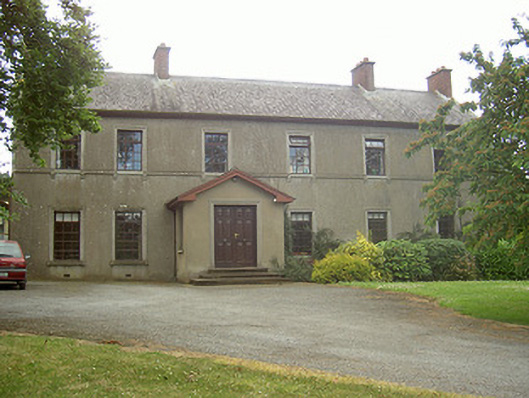 Mullaharlin Househouse · 166 yd
 Enclosure in MullagharlinEnclosure · 316 yd
 Man-made underground passage in CrumlinMan-made underground passage · 448 yd
 Dundalk Institute of Technologyfactory · 1067 yd
 CastleCastle, unclassified · 1.0 mi
 BallybarrackMountain / peak · 1.1 mi
 IndicatedCastle, unclassified · 1.2 mi
 Broad WoodForest · 1.7 mi
 Photo GalleryHeritage attraction · 1.8 mi
 Long WoodForest · 1.8 mi
 Dundalk CentralHeritage attraction · 1.8 mi
 Bombing 1975Memorial · 1.9 mi