
What is recorded here
The following description is derived from both the published 'Archaeological Inventory of County Louth' (Dublin: Stationery Office, 1986) and the 'Archaeological Survey of County Louth' (Dublin: Stationery Office, 1991). In certain instances the entries have been revised and updated in the light of recent research.
Date of upload/revision: 17 July 2007
Situated on W slope of a N-S ridge in gently undulating countryside. Discovered in 1985 during ploughing. The Man-made underground passage is drystone-built throughout, consisting of two passages set at right angles connected by a short passage at an upper level, thus forming an L-shaped plan. The present entrance is due to the delintelling of part of the upper passage. This upper passage, (L 3.5m, Wth 1m, H 1m) is aligned NE-SW and has drop-hole creeps at the SW and NE ends. The SW drop-hole (max. dims. 0.6m by 0.4m) gives access to a gallery-like passage (L 16m, Wth 0.9m, H 1.2m) extending NW-SE. This passage is filled almost to the lintels with badger spoil. It can be speculated that the original entrance to the Man-made underground passage was at some point beyond the SE end of this passage.
The NE drop-hole in the upper passage gives access to a second gallery-like passage (L 20m, Wth 1-1.5m, H 1.1-1.6m) extending SW-NE-N. At several points the floor of the Man-made underground passage is cut into bedrock. This passage terminates in a squared-off widening forming a pseudo-chamber. No air-vents were visible at any point in the Man-made underground passage.
The monument record does not grant public access. Check the route and ask the landowner before entering private land.
- What survives
- Recorded monument
Places near here
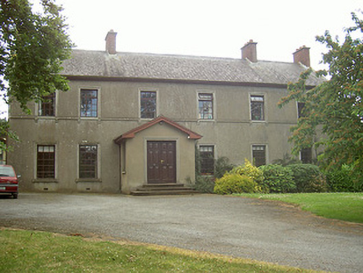 Mullaharlin Househouse · 503 yd
 Enclosure in MullagharlinEnclosure · 686 yd
 Dundalk Institute of Technologyfactory · 862 yd
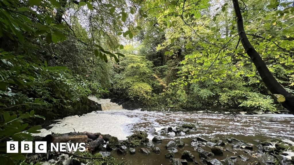 Fulacht fia in CrumlinFulacht fia · 875 yd
 BallybarrackMountain / peak · 1.0 mi
 CastleCastle, unclassified · 1.2 mi
 IndicatedCastle, unclassified · 1.3 mi
 Photo GalleryHeritage attraction · 1.5 mi
 Dundalk CentralHeritage attraction · 1.6 mi
 Bombing 1975Memorial · 1.7 mi
 Maid of ErinMemorial · 1.7 mi
 Soldiers' PointHeadland · 2.9 mi
Other information
Photo: Credit not shown in the picture search · Rights wording not checked; contact us if this picture should be removed