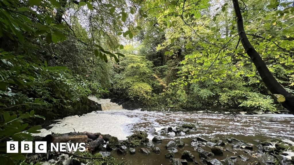
What is recorded here
Discovered prior to road construction (Excavation Licence No. 99E0430). Initially identified as a large area of burning. Excavation uncovered a concentration of burnt mound material, a possible rectangular trough (1.75m x 1.5m; D 0.43m) and a possible hearth. (Lynch, P. 2002, 216-17)
Lynch, P. 2002 Crumlin 2B. In I. Bennett (ed.), Excavations 2000: summary accounts of archaeological excavations in Ireland, 216-7 (No. 652). Bray. Wordwell.
Compiled by: Claire Breen
Date of upload: 19 April 2012
The monument record does not grant public access. Check the route and ask the landowner before entering private land.
- What survives
- Recorded monument
Places near here
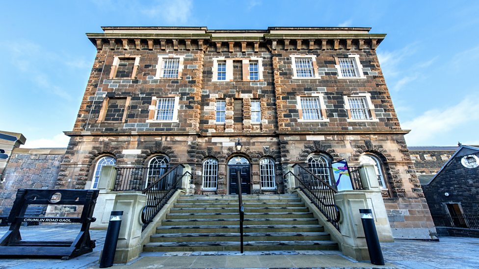 Enclosure in CrumlinEnclosure · 551 yd
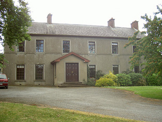 Mullaharlin Househouse · 578 yd
 Enclosure in MullagharlinEnclosure · 580 yd
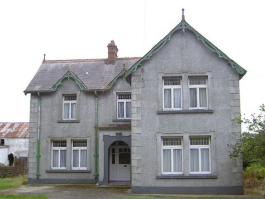 Hayestown Farmhouse · 892 yd
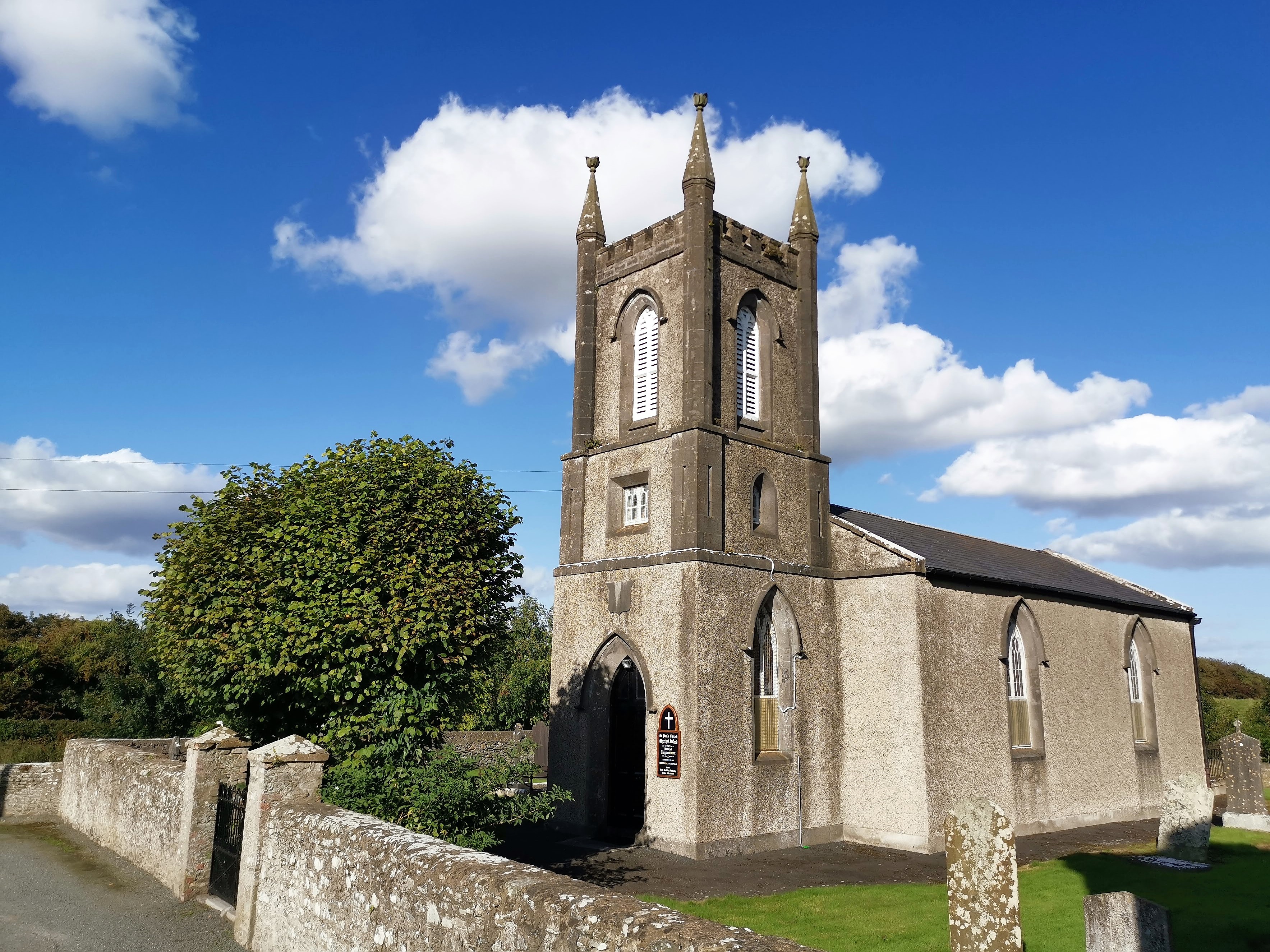 CastleCastle, tower house · 1654 yd
 BallybarrackMountain / peak · 1.0 mi
 MountCastle, motte and bailey · 1.1 mi
 Broad WoodForest · 1.6 mi
 Long WoodForest · 1.6 mi
 Photo GalleryHeritage attraction · 1.9 mi
 Dundalk CentralHeritage attraction · 2.0 mi
 Bombing 1975Memorial · 2.1 mi
Other information
Photo: Credit not shown in the picture search · Rights wording not checked; contact us if this picture should be removed