
What is recorded here
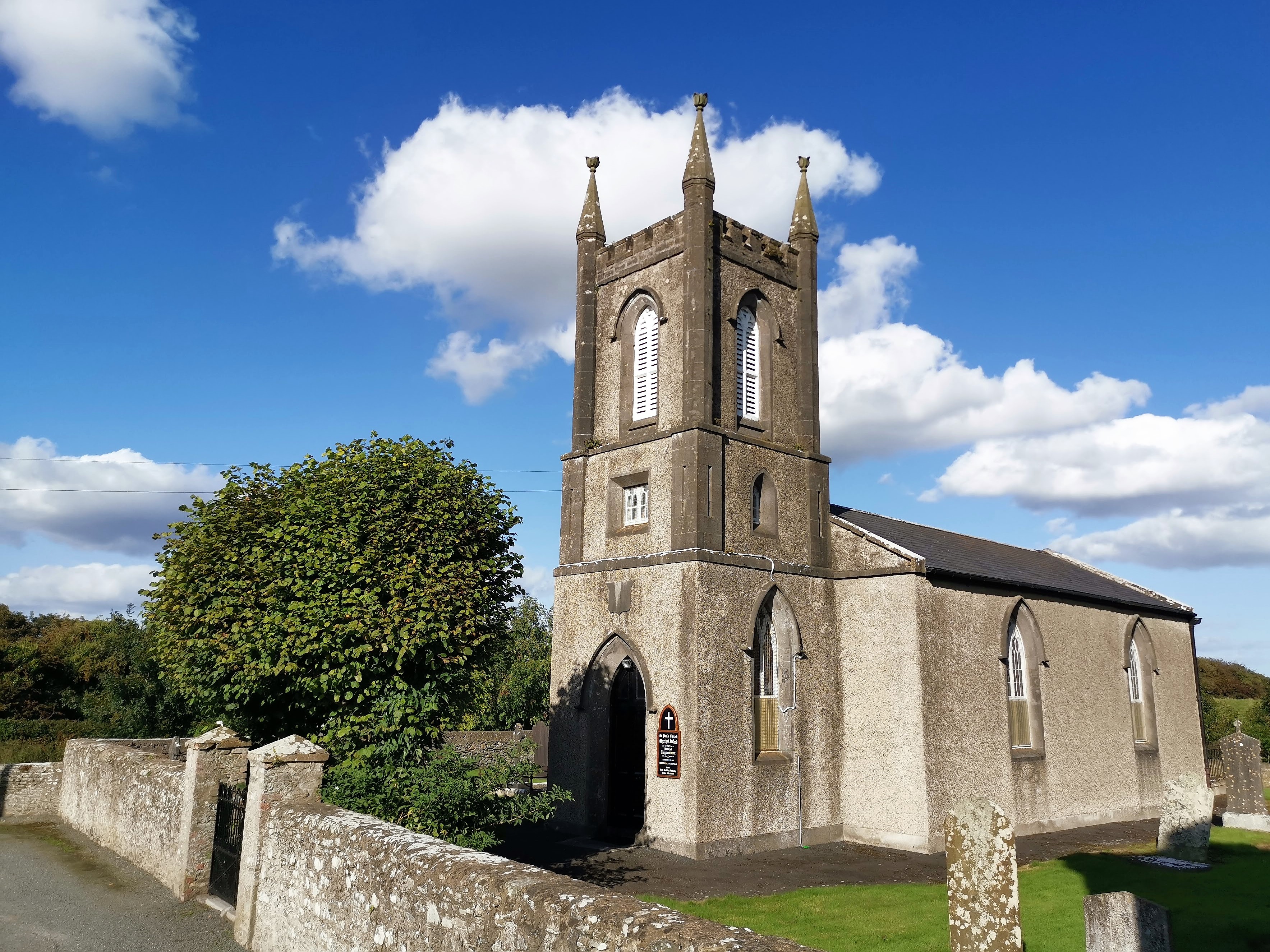
Situated on a small ridge and consisting of a small flat-topped mound (H 4.4-5.2m, max. diam. at base 28m; at summit 9.5m) with a fosse-like depression running NE from it to the scarped edge of the ridge. There are the remains of a degraded bailey (22.8m E-W, 49m N-S, H 0.5m at W, 2m at S) at S. which is defined by a deep scarp at the E and S sides and by a shallow fosse (Wth c. 3m, D c. 0.5m) at the W. The top of the motte is irregular, being partly destroyed at the E side. The motte is situated c. 210m S of Haynestown Castle (LH012-022----) and St Paul's Church.
The above description is derived from both the published 'Archaeological Inventory of County Louth' (Dublin: Stationery Office, 1986) and the 'Archaeological Survey of County Louth' (Dublin: Stationery Office, 1991). In certain instances the entries have been revised and updated in the light of recent research.
Date of upload: 17 July 2007
The monument record does not grant public access. Check the route and ask the landowner before entering private land.
- What survives
- Recorded monument
Places near here
 CastleCastle, tower house · 238 yd
 Saint Paul's Church (Haynestown)church/chapel · 263 yd
 Clermont Parkgate lodge · 653 yd
 Dunmahon CastleCastle, tower house · 733 yd
 Long WoodForest · 1251 yd
 Enclosure in DunmahonEnclosure · 1280 yd
 Broad WoodForest · 1342 yd
 Field system in Commons (dromiskin Par.)Field system · 1741 yd
 BallybarrackMountain / peak · 1.9 mi
 Photo GalleryHeritage attraction · 3.0 mi
 Dundalk CentralHeritage attraction · 3.0 mi
 Bombing 1975Memorial · 3.2 mi
Other information
Photo: Credit not shown in the picture search · Rights wording not checked; contact us if this picture should be removed