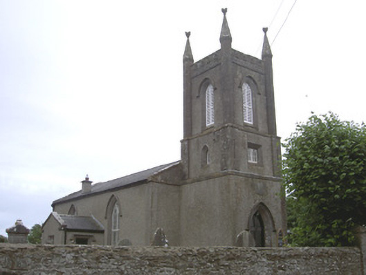
What is recorded here
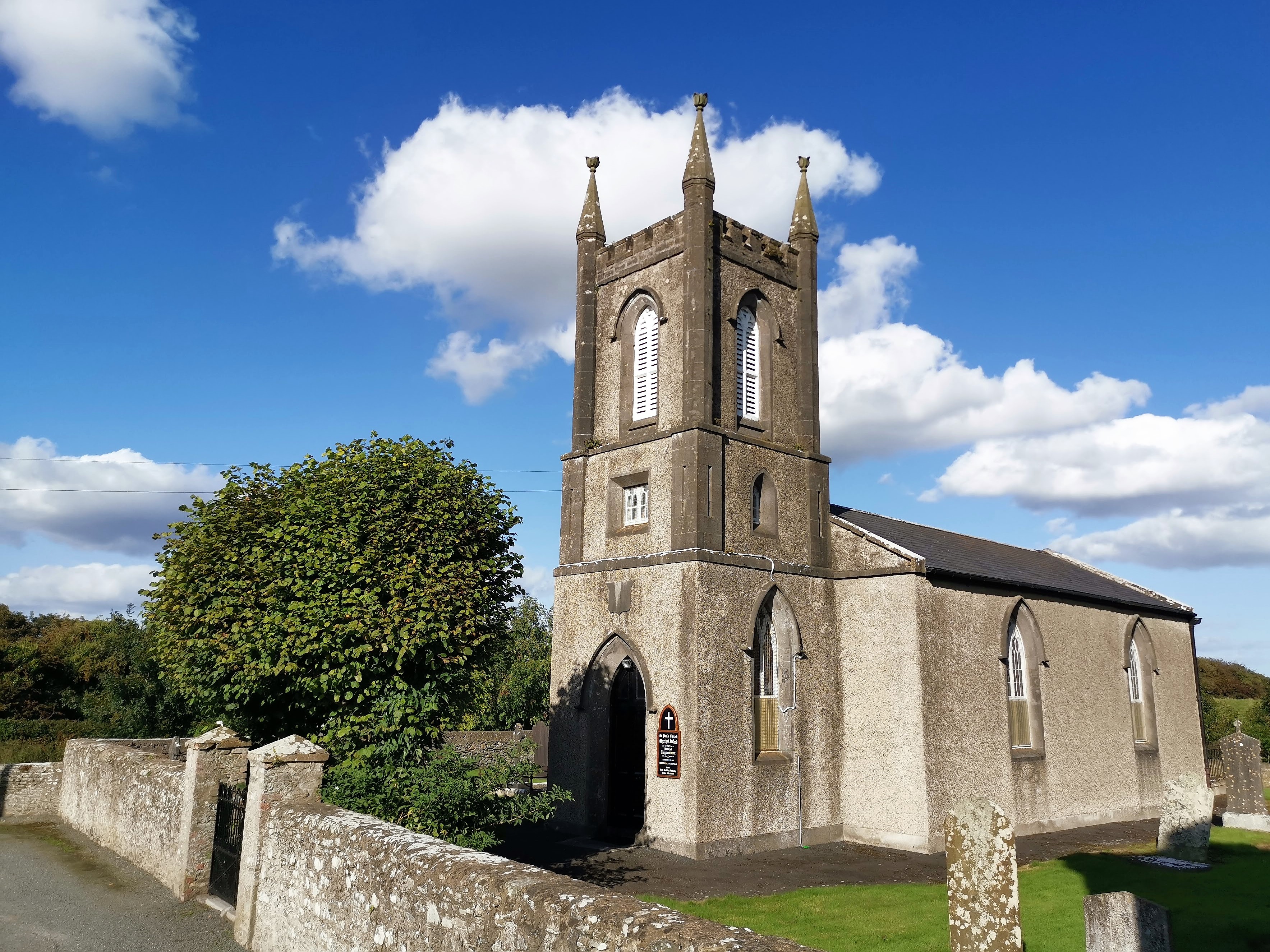
Freestanding Church of Ireland church, dated 1827. Two-bays to nave, projecting gable-fronted chancel to east, square-plan three-stage bell tower to west, projecting single-bay gable-fronted vestry to north. Pitched slate roof, clay ridge tiles, smooth rendered chimneystack, limestone verge coping, uPVC gutters on painted timber eaves board, circular cast-iron downpipes. Roughcast-rendered walling, smooth rendered, tooled ashlar limestone pinnacles and string courses to tower, ashlar limestone pediment surrounds to gables; carved limestone date plaque to bell tower. Pointed arch window openings, chamfered ashlar limestone reveals, carved limestone hood-mouldings, double lancet painted timber multiple-pane stained-glass windows, stained-glass leaded windows to tower, painted timber louvres to bell openings; square-headed window opening to vestry, chamfered ashlar limestone surround, paired painted timber multiple-pane window. Pointed arch door opening to tower, stop-chamfered ashlar limestone reveals, carved limestone hood-mould, painted timber door with four diagonally-sheeted panels, limestone flagstone and step; square-headed door opening to vestry, chamfered limestone reveals, hood-mould, timber sheeted door, concrete step. Church set back from road in surrounding burial ground; variety of cut stone grave markers c. 1825-1960, rubble stone boundary wall, wrought-iron gates. Rubble masonry corner-sited tower house to south-west corner of site.
Saint Paul's Church is a handsome building which conforms well to the Board of First Fruits type that characterised much of Church of Ireland building in the early-nineteenth century. The simple gable-fronted body and square-plan bell tower being typical features. Fine windows with stained-glass lights add to both the architectural and artistic interest of the building, which forms an attractive focal point in the landscape. The ruined tower house adds archaeological interest to the site.
This does not grant access. Most recorded buildings are privately owned; view them only from public ground unless the owner allows entry.
Places near here
 CastleCastle, tower house · 29 yd
 MountCastle, motte and bailey · 263 yd
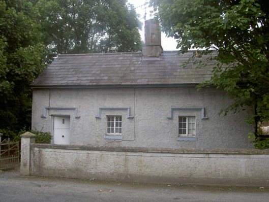 Clermont Parkgate lodge · 415 yd
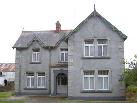 Hayestown Farmhouse · 1027 yd
 Enclosure in DunmahonEnclosure · 1392 yd
 Long WoodForest · 1409 yd
 Broad WoodForest · 1458 yd
 Fulacht fia in CrumlinFulacht fia · 1629 yd
 BallybarrackMountain / peak · 1.7 mi
 Photo GalleryHeritage attraction · 2.9 mi
 Dundalk CentralHeritage attraction · 2.9 mi
 Bombing 1975Memorial · 3.1 mi
Other information
Photo: National Inventory of Architectural Heritage · Website use allowed for educational or private purposes with source credit