Places near here
Photo credits
- National Inventory of Architectural Heritage
- Golfing in Ireland; photographer not stated, Source publisher
- Kmcnamee, Wikimedia Commons · CC BY-SA 4.0
- Eric Jones, Geograph · CC BY-SA 2.0
- GilPe, Wikimedia Commons · CC BY-SA 4.0
- Garry Dickinson, Geograph · CC BY-SA 2.0
- Dundalk99, Wikimedia Commons · CC BY-SA 4.0
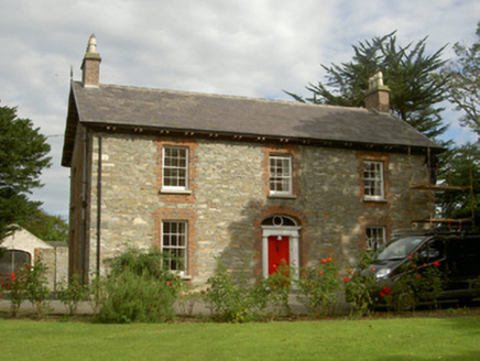 Seafield HouseHouse · 735 yd
Explorer Tom Seafield House makes a low hum at night that sounds like it’s dreaming about the sea. It’s beautifully situated in…
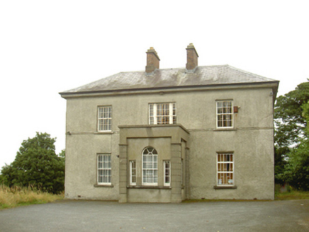 presbytery/parochial/curate's house930 yd
Explorer Tom Presbytery in Haggardstown was saved by a hero nobody remembers, probably because he forgot to write his name down…
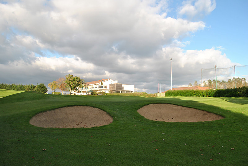 Dundalk Golf ClubGolf course · 954 yd
 McGeough Park, GeraldinesGAA ground · 1747 yd
 Dunmahon CastleCastle, tower house · 1.8 mi
Explorer Tom Dunmahon Castle is where a priest once lost a bet on how many stones would fall before dinner time. He still hasn't…
 Louth County MuseumMuseum · 2.7 mi
Explorer Tom Louth County Museum occupies an old Dundalk warehouse and somehow fits a county's long history inside without stacking…
 Kellys MonumentMonument · 2.7 mi
Explorer Tom Kellys Monument describes itself to strangers as 'a very important rock that happens to have words on it', which is the…
 Maid of ErinMemorial · 2.7 mi
Explorer Tom Maid of Erin isn’t actually a maid; she’s just a very dramatic statue pretending to be pure while judging your outfit…
 Franciscan Bell Tower, 1240'sMonument · 2.8 mi
Explorer Tom Franciscan Bell Tower from the 1240s has one favorite song: the sound of wind whistling through its empty hole, which…
 Dundalk CentralHeritage attraction · 2.8 mi
Explorer Tom Dundalk Central in County Louth would be the uncle at a wedding who knows all the train schedules but forgets his own…
 Soldiers' PointHeadland · 3.1 mi
Explorer Tom Greenore Point handles its nosey neighbours by simply ignoring them and pointing at the mountains across the water…
 Castletown MotteArchaeological place · 3.8 mi
Explorer Tom Castletown Motte has squeezed a fort, an underground passage and a rich man's folly onto one Dundalk hill. No wonder it…
More castles and forts in County Louth · All of County Louth

What do you know about this place?Tap to add a comment or ask a question