What is recorded here
According to the ITA Survey the convent at Cully (OF024-001----) was connected to the monastery at Rahan (OF016- 015001-) by a causeway or togher which ran across the intervening bog to connect the two establishments. In 1942 the ITA Survey stated that this 'tochar roadway still exists'. Unlocated togher within the townland of Cully.
The above description is derived from the published 'Archaeological Inventory of County Offaly' (Dublin: Stationery Office, 1997). In certain instances the entries have been revised and updated in the light of recent research.
Date of upload: 23 May 2011
The monument record does not grant public access. Check the route and ask the landowner before entering private land.
- What survives
- Recorded monument
Places near here
 Castle in ruinsCastle, unclassified · 639 yd
 Convent in RuinsReligious house, Franciscan friars · 671 yd
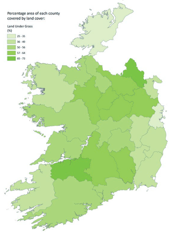 StructureStructure, peatland · 1.1 mi
 RoadRoad, class 3 togher · 1.2 mi
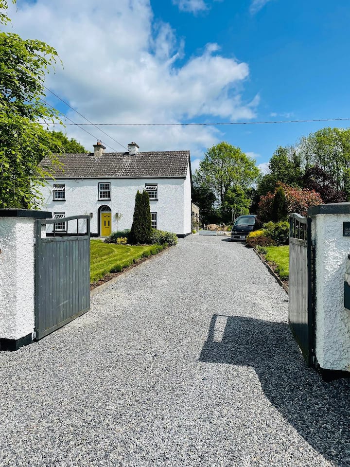 Enclosure in Coolanarney,derrymore (ballyboy By.),lowerton MoreEnclosure · 1.2 mi
 Graveyard in PallasGraveyard · 1.7 mi
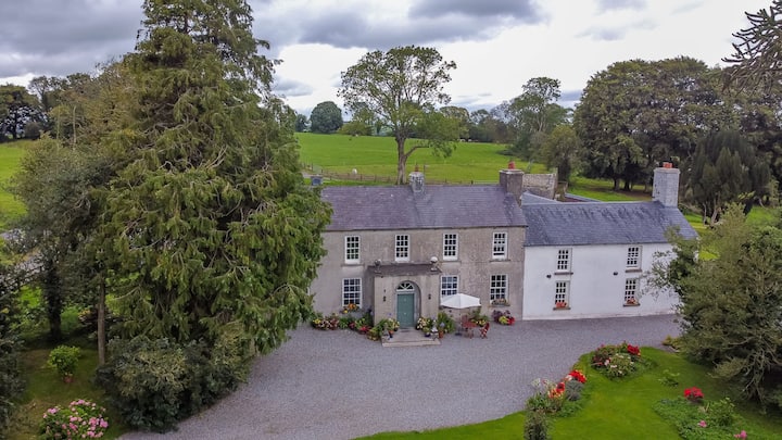 Bawn in Roscore DemesneBawn · 1.9 mi
 Lowerton HillMountain / peak · 2.1 mi
 HawthornHawthorn · 3.0 mi
 Troy's Island or DerryheeraghMountain / peak · 3.2 mi
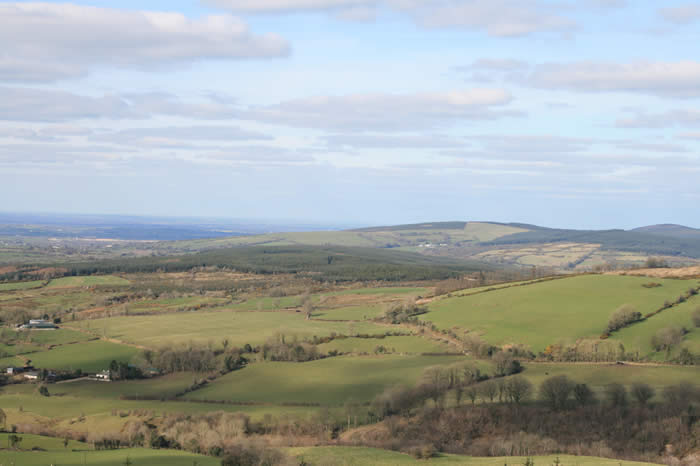 The Offaly WayWalking route · 3.2 mi
 Ardnagross WellSpring · 3.7 mi