What is recorded here
The site (L 3.2m; Wth 1.56m; D 0.22m) is orientated NNE-SSW and composed of compact light brushwood and roundwoods, 3-4 pieces deep in opposing drain faces It is flanked on the NW side by three roundwoods, one of which is of oak, and on the SE side by a half-split timber. The W side of the site diminishes to a band (Wth 0.43m) of longitudinal brushwood. A metal-cut chisel point was recorded. Wood species include hazel, ash, Pyrus/Malus, elm and alder. It is located within the transitional zone from fen to ombrotrophic peat. The site was dendrochronologically dated to 974±9 BC or later (Q9529).
Compiled by: Irish Archaeological Wetland Unit (University College Dublin).
Date of upload: 23 May 2011
The monument record does not grant public access. Check the route and ask the landowner before entering private land.
- What survives
- Recorded monument
Places near here
 RoadRoad, class 3 togher · 18 yd
 PlatformPlatform, peatland · 40 yd
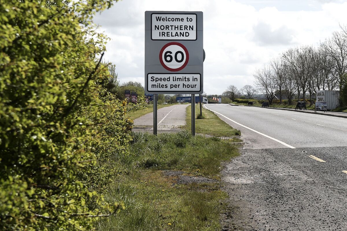 Not inidcatedRoad, class 3 togher · 50 yd
 StructureStructure, peatland · 169 yd
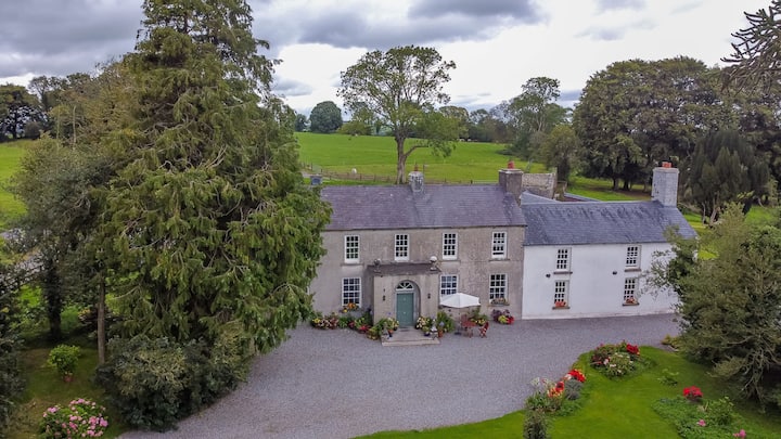 Bawn in Roscore DemesneBawn · 1.3 mi
 Castle in ruinsCastle, unclassified · 1.5 mi
 HawthornHawthorn · 1.8 mi
 European YewEuropean Yew · 1.8 mi
 Graveyard in PallasGraveyard · 2.4 mi
 Lowerton HillMountain / peak · 3.2 mi
 Ardnagross WellSpring · 3.2 mi
 Cocta HillMountain / peak · 3.4 mi