What is recorded here
The site (L 1.7m min.; Wth 0.86m; D 0.26m) is orientated NW-SE. It consists of a hurdle panel which was partially uncovered within the S corner of the area opened to examine SMR OF018-047----. Four sails are apparent through which light brushwood rods are interwoven. The rods are denser in the central and E ends of the area exposed and the panel diminishes in the S corner of the cutting. The panel was held in place by a number of small pegs. The hurdle was laid on a substructure formed of heavy brushwood and light roundwoods, laid approximately E-W. Wood species include hazel, birch, alder, ash and oak. The site is situated in moderately humified Sphagnum peat containing Eriophorum and a small amount of ericaceous remains. SMR OF018-047---- is located 1.1m to the S and SMR OF018-038----, 4.5m to the SE.
Compiled by: Irish Archaeological Wetland Unit (University College Dublin).
Date of upload: 23 May 2011
The monument record does not grant public access. Check the route and ask the landowner before entering private land.
- What survives
- Recorded monument
Places near here
 PlatformPlatform, peatland · 1 yd
 Not inidcatedRoad, class 3 togher · 9 yd
 RoadRoad, class 3 togher · 23 yd
 StructureStructure, peatland · 167 yd
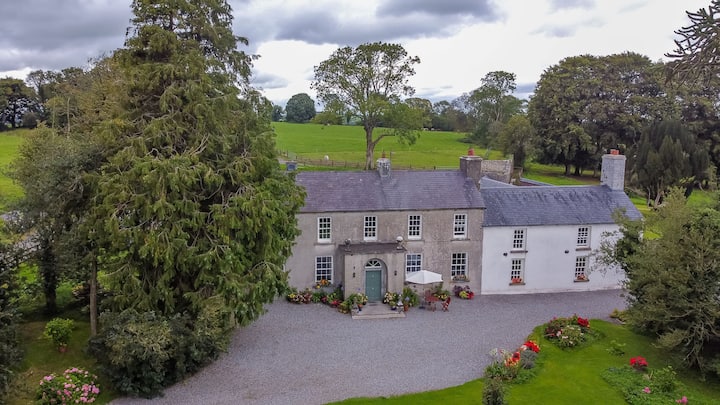 Bawn in Roscore DemesneBawn · 1.3 mi
 Castle in ruinsCastle, unclassified · 1.5 mi
 HawthornHawthorn · 1.8 mi
 European YewEuropean Yew · 1.8 mi
 Graveyard in PallasGraveyard · 2.4 mi
 Lowerton HillMountain / peak · 3.2 mi
 Ardnagross WellSpring · 3.3 mi
 Cocta HillMountain / peak · 3.4 mi