What is recorded here
In Baunmore bog, this togher, which runs NE-SW across the bog for 800m, was identified by the Irish Archaeological Wetland Unit, UCD in 1995. Another togher (TS036-050----) runs roughly parallel to this c. 110m to the N.
Compiled by: Jean Farrelly
Date of revised upload: 25 March 2015
The monument record does not grant public access. Check the route and ask the landowner before entering private land.
- What survives
- Recorded monument
Places near here
 Site of CastleCastle, unclassified · 1207 yd
 RoadRoad, unclassified togher · 1524 yd
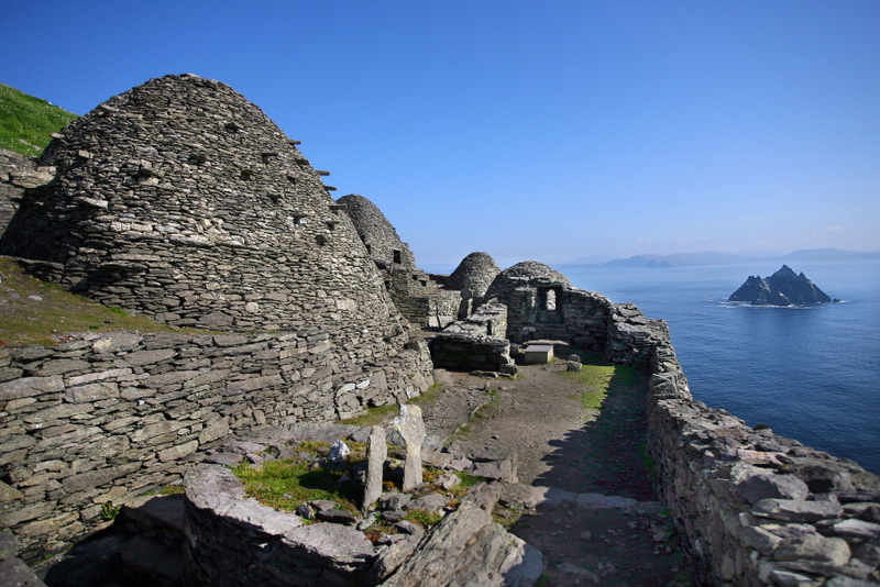 Enclosure in Islands (galmoy By.)Enclosure · 1.2 mi
 IndicatedCastle, ringwork · 1.4 mi
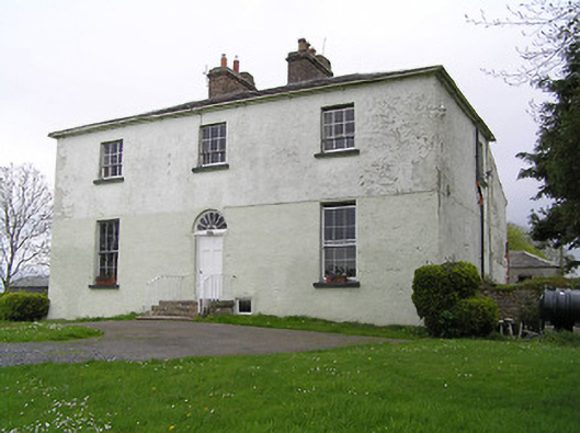 Glebe Houserectory/glebe/vicarage/curate's house · 1.7 mi
 Enclosure in Longfordpass NorthEnclosure · 1.8 mi
 DelaneyMemorial · 3.3 mi
 John HelyMemorial · 3.3 mi
 Kilcooly AbbeyHeritage attraction · 4.5 mi
 KilcooleyForest · 4.6 mi
 Serpentine WoodForest · 4.9 mi
 Clomantagh HillMountain / peak · 5.0 mi