
What is recorded here
Possible togher identified on Bing Image (http://binged.it/1N5NDYZ). This possible togher runs NE-SW for at least 650m across a section of Littleton Bog. The nearest monument on dryland is a castle (TS036-049----) which lies c. 260m E of the possible togher.
Compiled by: Jean Farrelly
Date of upload: 23 March 2015
The monument record does not grant public access. Check the route and ask the landowner before entering private land.
- What survives
- Recorded monument
Places near here
 Site of CastleCastle, unclassified · 615 yd
 Bawn in GraiguepadeenBawn · 1142 yd
 IndicatedEnclosure · 1380 yd
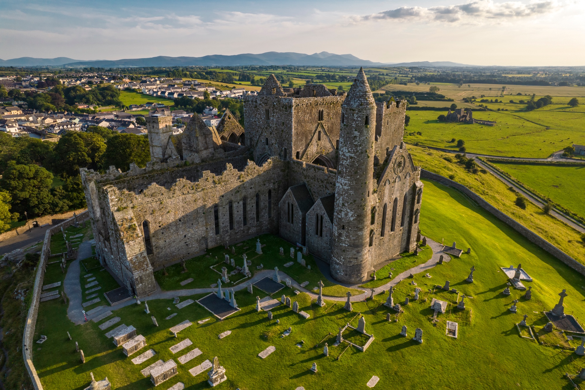 RathkianFairy fort / earthen ringfort · 1.1 mi
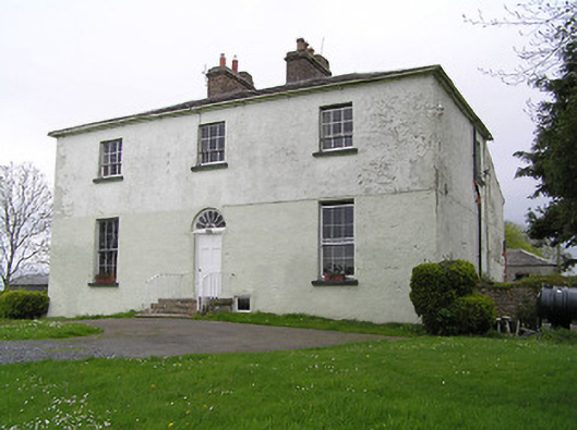 Glebe Houserectory/glebe/vicarage/curate's house · 1.3 mi
 Longfordpass BridgeBridge · 1.4 mi
 John HelyMemorial · 3.9 mi
 Kilcooly AbbeyHeritage attraction · 3.9 mi
 DelaneyMemorial · 4.0 mi
 KilcooleyForest · 4.1 mi
 Serpentine WoodForest · 4.4 mi
 Derrynaflan TrailHeritage attraction · 7.6 mi
Other information
Photo: Credit not shown in the picture search · Rights wording not checked; contact us if this picture should be removed