
What is recorded here
On top of high ground in pasture at the N end of a N-S ridge with good commanding views in all directions. Fennor church and castle (TS043-003----) are located 500m and 625m to the SSE respectively. A heavily overgrown bivallate enclosure consisting of a raised circular platform (diam. c. 22-30m; overall diam. c. 100m NW-SE) defined by a scarp (H 4-5m), fosse (top Wth 8m; base Wth 3m; ext. D 1.75m), wide flat-topped earth and stone bank (top Wth 6m; base Wth 10m; ext. H 2m), external fosse (base Wth 2m; top Wth 5m: ext. D 1m) and outer bank (base Wth 10m; top Wth 2.5m; ext. H 1.7m). The central platform is covered in bushes and trees making detailed examination and measurement impossible. The middle bank is level in height with the central platform and higher than the outer bank and has evidence of a stone revetment along its inner face in the E quadrant. There are possible stone wall-footings around the perimeter of the platform at the E quadrant which would make the monument a trivallate earthwork. There is evidence of quarrying in the NW quadrant and a modern cattle gap (Wth 2.2m) in the platform at the ENE, but no corresponding gap in the middle bank. It was described by Healy (1874-9, vol. 1, 49) in the 19th century as a 'beautiful rath near Fennor Church some 45 yards in diameter, surrounded with fosse, rampart and parapet.'
Compiled by: Jean Farrelly
Date of upload: 26 August 2011
Fennor Castle was likely built in the 13th or 14th century by a local noble family, possibly connected to the de Fennor or Fenner lineage, as a defensive stronghold in a strategically elevated position. Its importance lies in its role in the medieval defense of the region and its association with the nearby Fennor Church, indicating a historic religious and secular center.
The monument record does not grant public access. Check the route and ask the landowner before entering private land.
- What survives
- Recorded monument
Places near here
 Fennor Castle (in Ruins)Castle, unclassified · 566 yd
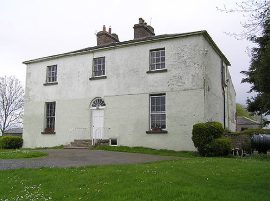 Glebe Houserectory/glebe/vicarage/curate's house · 570 yd
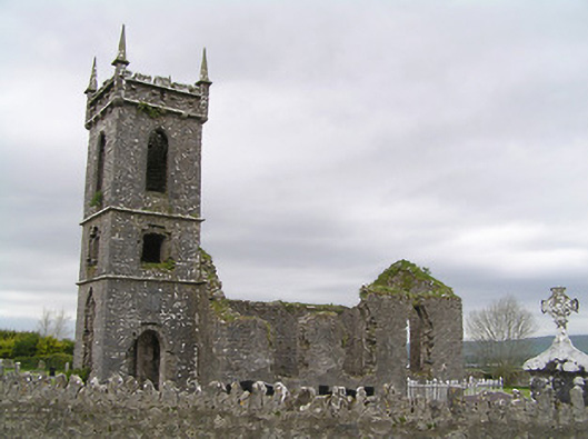 Fennor Churchchurch/chapel · 710 yd
 St. Patricks WellHoly well · 1047 yd
 Enclosure in UrlingfordEnclosure · 1581 yd
 Site of CastleCastle, unclassified · 1614 yd
 John HelyMemorial · 3.2 mi
 Kilcooly AbbeyHeritage attraction · 3.2 mi
 DelaneyMemorial · 3.2 mi
 KilcooleyForest · 3.2 mi
 Serpentine WoodForest · 3.5 mi
 Clomantagh HillMountain / peak · 4.4 mi
Other information
Photo: Credit not shown in the picture search · Rights wording not checked; contact us if this picture should be removed