What is recorded here
On a N-S ridge in rolling grassland, with a bog c. 80m to the NW. Indicated on the 1st (1839) ed. OS 6-inch map as a circular enclosure (diam. c. 23m) at the N end of a small settlement cluster, with a roadway running around the edge of the S-SW sector and a field boundary running N-S from the NNE sector. On the 1900 revision of this map only the NW quadrant is indicated, with buildings occupying the E side and the roadway appears to have truncated the S-SW quadrant. When visited in 1987 the monument was not visible at ground level.
Compiled by: Jean Farrelly
Date of upload: 17 January 2018
The monument record does not grant public access. Check the route and ask the landowner before entering private land.
- What survives
- Recorded monument
Places near here
 Urlingford Church (in ruins)Church · 1.2 mi
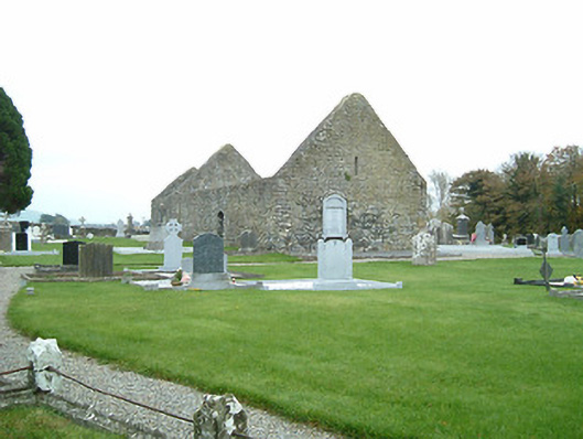 graveyard/cemeterygraveyard/cemetery · 1.2 mi
 CastleCastle, tower house · 1.2 mi
 TurretBawn · 1.2 mi
 Enclosure in FoulkscourtEnclosure · 1.4 mi
 Foulkscourt Ringfort (rath)Archaeological place · 1.4 mi
 DelaneyMemorial · 2.1 mi
 John HelyMemorial · 2.1 mi
 Clomantagh HillMountain / peak · 3.9 mi
 KilcooleyForest · 4.8 mi
 Kilcooly AbbeyHeritage attraction · 4.9 mi
 Street fieldArchaeological place · 5.0 mi
Other information
Photo: Credit not shown in the picture search · Rights wording not checked; contact us if this picture should be removed