What is recorded here
Located on the summit of a slight NE-SW ridge (L c. 150m) and c. 70m from the crest of a steep slope down (H c. 30m) to a SW-NE section of the River Boyne which is c. 200m to the NW. The cropmark of a small circular enclosure (diam. c. 10m) was recorded by G. Barrett on an oblique aerial photographs (GB89.J.21) in July 1989, but it does not appear on any other series.
Compiled by: Dr Gillian Barrett for the Archaeological Survey of Ireland.
Date of upload: 10 June 2009
Amended: 31 March 2023
The monument record does not grant public access. Check the route and ask the landowner before entering private land.
- What survives
- Recorded monument
Places near here
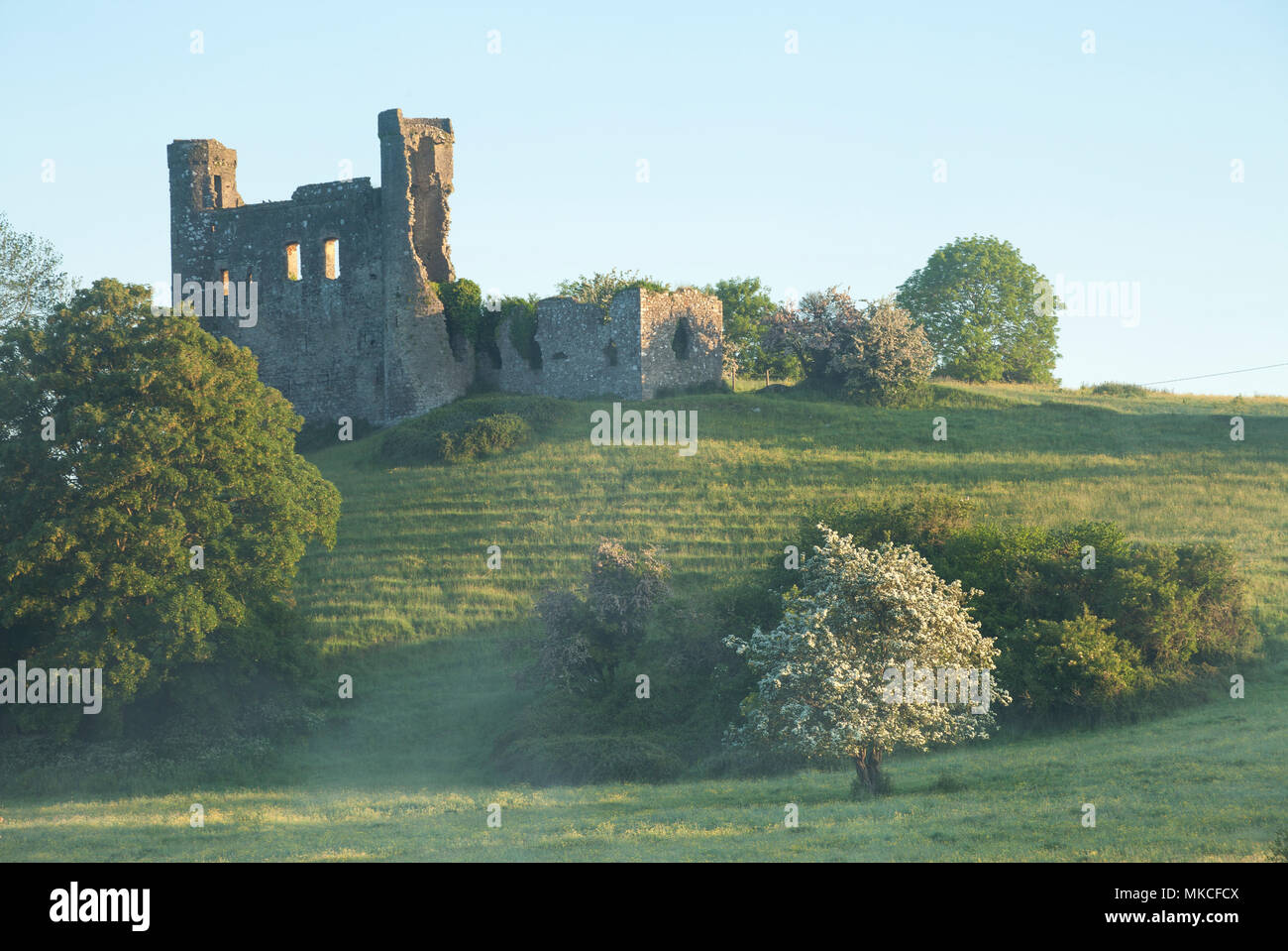 Enclosure in DunmoeEnclosure · 628 yd
 Enclosure in ArdmulchanEnclosure · 718 yd
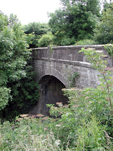 Thompson Bridgebridge · 800 yd
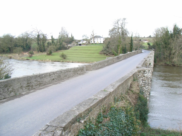 Broadboyne Bridgebridge · 819 yd
 CastleCastle, motte · 870 yd
 Cocker's WoodWood · 1549 yd
 Dunmoe CastleCastle, unclassified · 1562 yd
 Cruicetown WoodWood · 1.5 mi
 Carn HillMountain / peak · 1.8 mi
 Donaghmore Round TowerHeritage attraction · 2.0 mi
 Nangle CourtMemorial · 3.3 mi
 RiverviewMemorial · 3.6 mi