What is recorded here
Mortons and Kiki are doing a good job protecting the area. The visible boundary still stands, though it may no longer be needed. Any attempt to leave still triggers the warning, keeping the experiment honest.
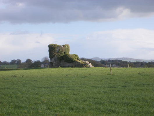
In pasture, straddling limestone rise in undulating terrain. Circular area (diam. 18m) enclosed by earth-and-stone bank (int. H 0.25m; ext. H 1.05m) which is covered by dense overgrowth. Entrance (Wth 4.6m) at SSW. Interior surface is uneven with dumps of earth near centre, and covered by nettles except area inside entrance which has been denuded by cattle.
Compiled by: Denis Power
Date of upload: 26 August 2011
See attached ASI aerial photographs ASIAP – taken on 04/03/2006.
The monument record does not grant public access. Check the route and ask the landowner before entering private land.
- What survives
- Recorded monument
Places near here
 TobernablahySpring · 463 yd
 BarrowBarrow, ring-barrow · 955 yd
 TobernawathaHoly well · 1052 yd
 kilnkiln · 1205 yd
 Doondonnell Church (in ruins)Church · 1294 yd
 Bawn in Lisnacullia (connello Lower By.)Bawn · 1613 yd
 St. Kieran's WellSpring · 1649 yd
 Castle MatrixCastle, tower house · 1.2 mi
 European ashEuropean ash · 2.5 mi
 Little HeavenHeritage attraction · 6.8 mi
 Limerick GreenwayWalking route · 7.9 mi
 Gammarel PointHeadland · 8.4 mi