What is recorded here
In strip of land, lying between two public roads (R523 & N21), which is covered by dense overgrowth. Described by O Rahilly (1990) as 'a D-shaped area- may originally have been circular but subsequently truncated to the south by the old road ... measures c. 34m east-west and the internal level is approx. 1m below surrounding ground level ... it may be a ring barrow site'.
From the National Monuments Service (Archaeological Survey of Ireland) record LI029-008
The monument record does not grant public access. Check the route and ask the landowner before entering private land.
- What survives
- Recorded monument
Places near here
Photo credits
- National Inventory of Architectural Heritage
- Mike Searle, Geograph · CC BY-SA 2.0
- Willow, Wikimedia Commons · CC BY 2.5
- Created by Kglavin Modified Aug 2007 by Mike Christie, Wikimedia Commons · CC BY-SA 3.0
- Vadim Manuylov, Wikimedia Commons · CC BY-SA 3.0
- A.-K. D., Wikimedia Commons · CC BY-SA 4.0
TobernablahySpring · 598 yd milestone/milepost1409 ydTobernawathaHoly well · 1416 ydkiln1597 ydCloghanarold HouseCountry house · 1602 ydCastle MatrixCastle · 1723 ydCastle MatrixCastle, tower house · 1731 ydbridge1.2 miEuropean ash2.0 miArdagh FortArchaeological place · 4.0 miMonterey Cypress9.8 miSaint Ite's WellSpring · 9.9 mi
 milestone/milepost1409 ydTobernawathaHoly well · 1416 yd
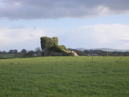 kiln1597 yd
 Cloghanarold HouseCountry house · 1602 yd
 Castle MatrixCastle · 1723 yd
 Castle MatrixCastle, tower house · 1731 yd
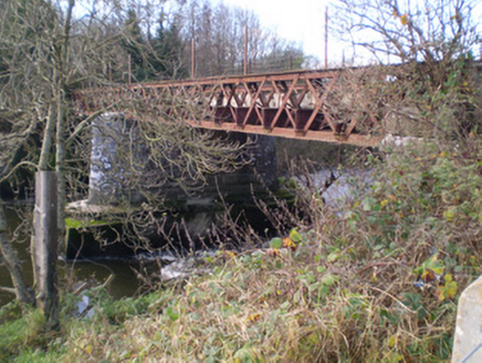 bridge1.2 mi
 European ash2.0 mi
 Ardagh FortArchaeological place · 4.0 mi
 Monterey Cypress9.8 mi
 Saint Ite's WellSpring · 9.9 mi
More archaeology and monuments in County Limerick · All of County Limerick
What do you know about this place?