What is recorded here
Discovered during archaeological monitoring prior to pipe laying (Excavation Licence No. 99E0465). A burnt mound (11.5m x 9.8m) was initially exposed. Excavation uncovered a sub-rectangular trough (2.4m x 1.4m) cut into a layer of grey marl. It was lined with a charcoal layer that may have represented burnt wooden lining and its base was cut by fourteen post-holes. The full extent of the site was not excavated as part of it lay outside the land-take for the pipe. (Seaver 2000, 221)
Compiled by: Claire Breen
Date of upload: 29 June 2012
The monument record does not grant public access. Check the route and ask the landowner before entering private land.
- What survives
- Recorded monument
Places near here
 Graveyard in Richardstown (ardee By., Richardstown Par.)Graveyard · 482 yd
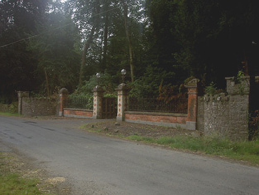 Richardstown Castlegates/railings/walls · 489 yd
 Rocjardstown CastleCastle, tower house · 510 yd
 Monterey CypressMonterey Cypress · 537 yd
 Church in ToberdoneyChurch · 972 yd
 Enclosure in Richardstown (ardee By., Richardstown Par.)Enclosure · 989 yd
 IndicatedHoly well · 1068 yd
 Drumcashel FortCastle, motte · 1541 yd
 Graveyard in StickillinGraveyard · 1.7 mi
 Rathescar Lakeside WalkWood · 2.6 mi
 Drummeenagh HillMountain / peak · 4.1 mi
 Tullydonnell HillMountain / peak · 4.9 mi