What is recorded here
Marianne and the twins followed the red arrow into Reaghstown, where a broken earth bank still circles an invisible chamber. They skipped stones along the grass and listened for the heartbeat of the fort hidden beneath it.
The following description is derived from both the published 'Archaeological Inventory of County Louth' (Dublin: Stationery Office, 1986) and the 'Archaeological Survey of County Louth' (Dublin: Stationery Office, 1991). In certain instances the entries have been revised and updated in the light of recent research.
Date of upload/revision: 17 July 2007
Marked as 'fort' on the 1835 ed. of the OS 6-inch map. Surviving portion of bank with possible remains of external fosse suggests that the site was a ringfort.
The monument record does not grant public access. Check the route and ask the landowner before entering private land.
- What survives
- Recorded monument
Places near here
 Enclosure in Nicholastown (ardee By.),reaghstownEnclosure · 1027 yd
 Not indicaetdFairy fort / earthen ringfort · 1251 yd
 CastleCastle, motte and bailey · 1492 yd
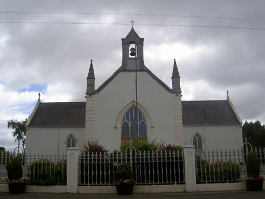 Saint Malachy's Catholic Churchchurch/chapel · 1751 yd
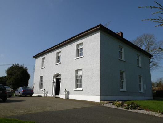 Annahean Househouse · 1.4 mi
 TuliptreeTuliptree · 1.5 mi
 Flat cemetery in AnnaheanFlat cemetery · 1.5 mi
 Thomastown CastleCastle, tower house · 1.5 mi
 European YewEuropean Yew · 1.5 mi
 Matthew's HillMountain / peak · 3.6 mi
:no_upscale()/cdn.vox-cdn.com/uploads/chorus_asset/file/25593391/County_Louth_6th.jpg) LouthMountain / peak · 3.8 mi
LouthMountain / peak · 3.8 mi Sir Frederick Foster MemorialMemorial · 5.5 mi