What is recorded here
The site consists of a large flat-topped mound (diam. of base c. 36m; top c. 15m, H c. 8m) with a deep wide fosse (Wth c. 9m, D c. 1.7m) and a sub-rectangular bailey (c. 37m by 36m, H c. 1.7m) at the SE. It is sited on a long drumlin overlooking the Lagan River. On the summit of the motte there is a circular area (diam. c. 5m) enclosed by a low bank, probably the remains of a superstructure. A very slight fosse is visible along the SE side of the bailey. At the time of inspection it could be seen that the upper two thirds of the mound were composed of earth and stone. In places the bailey is up to 1.7m above ground level and its surrounding fosse is up to 0.65m deep. (CLAJ 1924, 279)
The above description is derived from both the published 'Archaeological Inventory of County Louth' (Dublin: Stationery Office, 1986) and the 'Archaeological Survey of County Louth' (Dublin: Stationery Office, 1991).
The site consists of a large flat-topped mound (diam. of base c. 36m; top c. 15m, H c. 8m) with a deep wide fosse (Wth c. 9m, D c. 1.7m) and a sub-rectangular bailey (c. 37m by 36m, H c. 1.7m) at the SE. It is sited on a long drumlin overlooking the Lagan River. On the summit of the motte there is a circular area (diam. c. 5m) enclosed by a low bank, probably the remains of a superstructure. A very slight fosse…
From the National Monuments Service (Archaeological Survey of Ireland) record LH010-013
The monument record does not grant public access. Check the route and ask the landowner before entering private land.
- What survives
- Recorded monument
Places near here
Man-made underground passage in AclintMan-made underground passage · 50 yd Annahean HouseHouse · 996 ydFlat cemetery in AnnaheanFlat cemetery · 1141 ydSaint Malachy's Catholic ChurchChurch/chapel · 1.5 miMatthew's HillMountain / peak · 3.4 miLouthMountain / peak · 4.6 miMonkey-puzzle4.8 miEuropean Beech5.0 miSir Frederick Foster MemorialMemorial · 6.0 miThe College (in Ruins)College · 6.1 miCastleCastle, tower house · 6.1 miCastleCastle, tower house · 6.2 mi
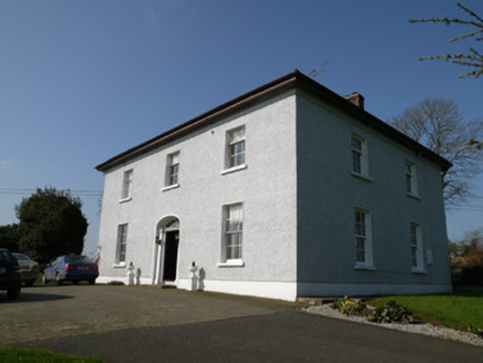 Annahean HouseHouse · 996 ydFlat cemetery in AnnaheanFlat cemetery · 1141 yd
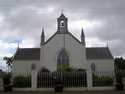 Saint Malachy's Catholic ChurchChurch/chapel · 1.5 miMatthew's HillMountain / peak · 3.4 miLouthMountain / peak · 4.6 mi
 Monkey-puzzle4.8 mi
 European Beech5.0 mi
 Sir Frederick Foster MemorialMemorial · 6.0 mi
 The College (in Ruins)College · 6.1 mi
 CastleCastle, tower house · 6.1 mi
 CastleCastle, tower house · 6.2 mi
Pictures: National Inventory of Architectural Heritage; Vicente Fernández Rioja, Wikimedia Commons · CC BY-SA 4.0; Malene Thyssen, Wikimedia Commons · CC BY-SA 3.0; Nuala Furley, Wikimedia Commons · CC BY-SA 4.0; Dasmuy, Wikimedia Commons · CC BY-SA 4.0; Eric Jones, Geograph · CC BY-SA 2.0
More castles and forts in County Louth · All of County Louth
What do you know about this place?