What is recorded here
Located towards the bottom of the SE-facing slope of a NW-SE spur. Archaeological monitoring (03E1300) identified numerous features in this area including this ring-ditch which was fully excavated (03E1781). This is a circular ring-ditch (int. diam. 15m; ext. diam. 16.1m) defined by a continuous narrow fosse, and a second subrectangular ring-ditch (ME044, 044004-) is c. 5m to the N. The remains of a single cremation deposit was found in the fosse of this ring-ditch, but no artefacts were recovered. The ring-ditch was cut by a drain from the field system (ME044-066006-). The burial ground (ME044-044003-) is c. 80m to the NW. (Wallace 2003, 2006b)
The monument record does not grant public access. Check the route and ask the landowner before entering private land.
- What survives
- Recorded monument
Places near here
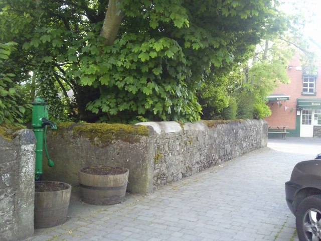 Enclosure in RatoathEnclosure · 188 yd
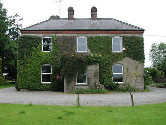 Park Househouse · 455 yd
 CrossCross, Market cross · 556 yd
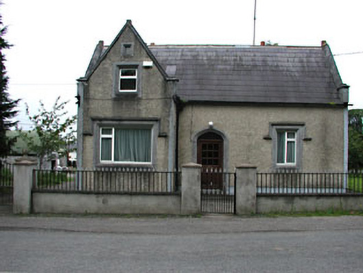 The Barrackshouse · 602 yd
 MoatCastle, motte and bailey · 753 yd
 CastleCastle, unclassified · 2.0 mi
 Lemur WoodWood · 2.5 mi
 Emerald ParkHeritage attraction · 2.5 mi
 AshbourneMemorial · 3.6 mi
 Newtown HillMountain / peak · 3.9 mi
 Cornstown HouseHeritage attraction · 3.9 mi
 Caulstown Christmas Tree FarmForest · 4.3 mi