What is recorded here
The Burren River flows roughly NE-SW c. 70m to the SE, in tillage. An unusual triangular-shaped enclosure (dims. c. 47m NW-SE; c. 37m NE-SW) identified as the cropmark of a fosse on satellite imagery (Google Earth satellite imagery, 21 July 2021) by Jean-Charles Caillère. Each side is c. 40m long (N side L c. 38m; W side L c. 47m; E side L c. 39m) and the angles are rounded. The fosse on the E side is less pronounced, it appears to follow the natural line of the edge of the terrain before it falls to the flood plain of the Burren River. There is a possible break (Wth c. 3-4m) in the fosse along the N side, suggesting an entrance.
See attached:
CW013-134----_01 Google Earth satellite imagery, 21 July 2021
Compiled by: Jean Farrelly
Date of upload: 8 December 2021
The monument record does not grant public access. Check the route and ask the landowner before entering private land.
- What survives
- Recorded monument
Places near here
 RathtoeEnclosure · 845 yd
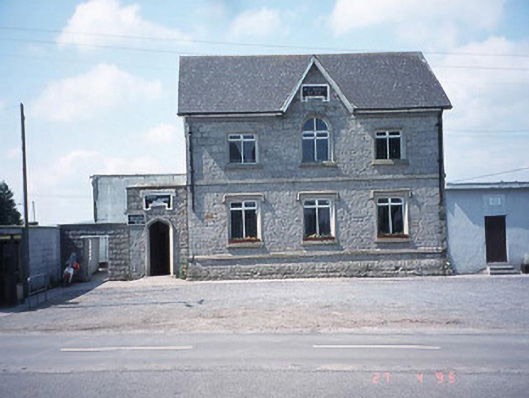 school master's houseschool master's house · 888 yd
 Saint Patrick's Catholic Churchchurch/chapel · 976 yd
 Enclosure in Kellistown EastEnclosure · 1112 yd
 Site of CastleCastle, unclassified · 1198 yd
 Kilmurry Church (in ruins), GraveyardChurch · 1352 yd
 Ballynunnery Castle in ruinsCastle, unclassified · 1.1 mi
 Church (in ruins), GraveyardChurch · 2.3 mi
 Pedunculate OakPedunculate Oak · 3.0 mi
 European ashEuropean ash · 4.4 mi
 Brownshill Portal TombVisitor information · 4.7 mi
 Altamont Gardens MapVisitor information · 5.0 mi