What is recorded here
The following description is derived from the published 'Archaeological Inventory of County Carlow' (Dublin: Stationery Office, 1993). In certain instances the entries have been revised and updated in the light of recent research.
Date of upload/revision: 17 July 2007
Aerial photographs (CUCAP BDO 53) shows cropmark of fosse defining arc of large circle (est max. diam. c. 100m if circle complete). Cropmark of possible ring ditch (CW013-005----) to N. No visible surface traces.
The monument record does not grant public access. Check the route and ask the landowner before entering private land.
- What survives
- Recorded monument
Places near here
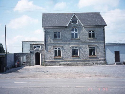 school master's houseschool master's house · 345 yd
 Saint Patrick's Catholic Churchchurch/chapel · 394 yd
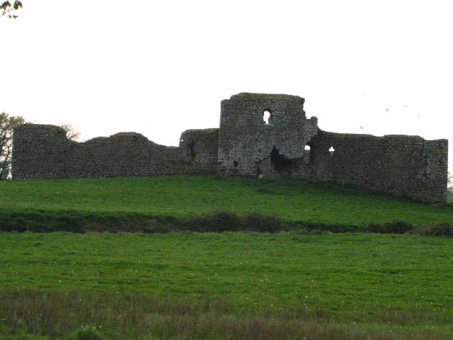 Enclosure in Inchisland OR MoatalushaEnclosure · 965 yd
 Enclosure in Kellistown EastEnclosure · 1027 yd
 Site of CastleCastle, unclassified · 1.1 mi
 Kilmurry Church (in ruins), GraveyardChurch · 1.2 mi
 Ballynunnery Castle in ruinsCastle, unclassified · 1.6 mi
 Church (in ruins), GraveyardChurch · 2.8 mi
 Pedunculate OakPedunculate Oak · 3.3 mi
 European ashEuropean ash · 3.9 mi
 Brownshill Portal TombVisitor information · 4.6 mi
 Duckett's GroveHeritage attraction · 4.8 mi