What is recorded here
Fairy fort / earthen ringfort in Rathnarrow is a fairy fort or earthen ringfort in Rathnarrow, County Westmeath, Ireland. The 1970 description records a small circular area measuring 27 metres north-south and 26 metres east-west, enclosed by a substantial earthen bank and a steep-sided, wide, flat-bottomed external fosse. The bank is best preserved from west-northwest through north to north-northeast, while gaps appear at north-northeast, southeast, south-southwest and west, making it impossible to confirm which one is the original entrance.
Situated on a slight rise, in gently undulating pasture, overlooked by higher ground to SW and NE and with good views in the other directions. Annotated ‘Fort’ on the 1837 OS Fair Plan map. Monument described in 1970 as a small circular-shaped area (dims. 27m N-S; 26m E-W) enclosed by an earthen bank and an external fosse. The bank is substantial and is best preserved from WNW-N-NNE. There are gaps in the bank at NNE, SE, SSW and W. It is not possible to confirm which one is the original entrance. The fosse is steep-sided, wide and flat-bottomed. The interior has a NNW-facing slope. Monument is visible as a roughly circular-shaped tree-lined earthwork on Digital Globe aerial photography.
Compiled by Alison McQueen, Vera Rahilly and Caimin O’Brien.
Date of upload: 08 July 2019
The monument record does not grant public access. Check the route and ask the landowner before entering private land.
- What survives
- Recorded monument
Places near here
 CastleCastle, tower house · 784 yd
 TobermíonadHoly well · 798 yd
 Bawn in Kerinstown and Balrowan (rowley)Bawn · 837 yd
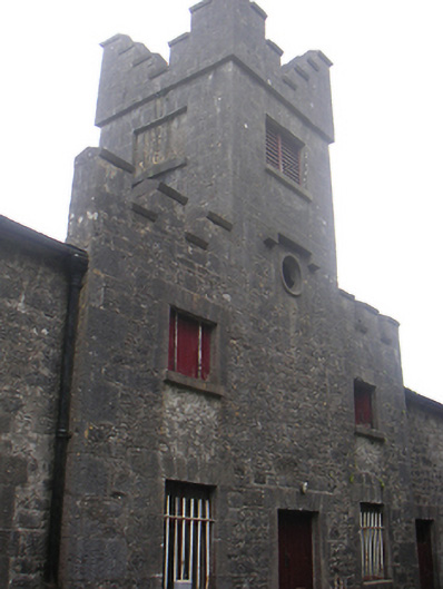 Lisnabin Castlestables, outbuilding · 941 yd
 EnclosureEnclosure, large enclosure · 1146 yd
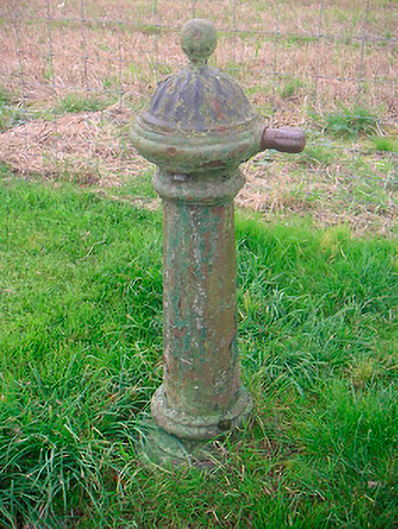 water pumpwater pump · 1542 yd
 GinkgoGinkgo · 3.8 mi
 ScregganWood · 6.1 mi
 Croppies' GraveMemorial · 8.8 mi
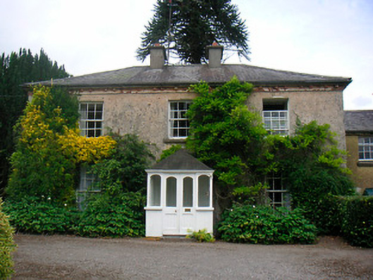 Greenhillshouse · 1.0 mi
 Site of ChurchChurch · 1.0 mi
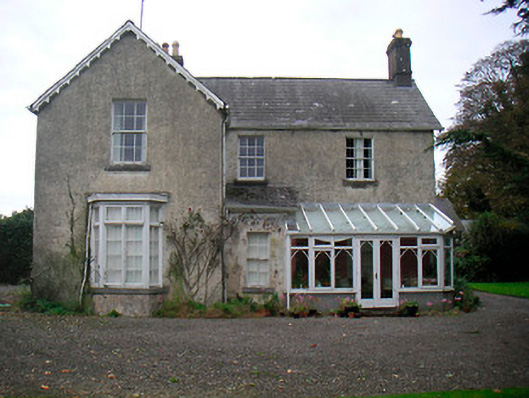 The Mansemanse · 1.1 mi