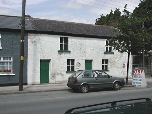
What is recorded here
Semi-detached four-bay two-storey house, c.1840, now unoccupied. Smooth rendered walls. Boarded-up windows and doors. Hipped slate roof with brick chimney stack. Ruined outbuilding to north.
This house forms a strong group with its western neighbour, retaining much original fabric and showing the former character of the village street, with street-fronted dwellings lacking any parallel commercial usage.
This does not grant access. Most recorded buildings are privately owned; view them only from public ground unless the owner allows entry.
Places near here
 Settlement cluster in RathcooleSettlement cluster · 152 yd
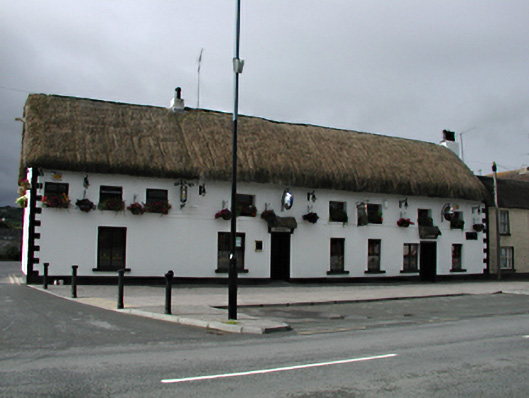 hotelhotel · 170 yd
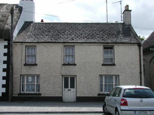 Hillviewhouse · 186 yd
 Grave YardGraveyard · 318 yd
 Inniscara GalleryGallery · 415 yd
 Rathcoole WoodlandWood · 647 yd
 Meadow WildlifeVisitor information · 935 yd
 CastleCastle, tower house · 1535 yd
 Colmanstown Castle (in ruins)Castle, tower house · 1.8 mi
 Athgoe HillMountain / peak · 1.9 mi
 Verschoyle's HillMountain / peak · 1.9 mi
 European YewEuropean Yew · 2.0 mi
Other information
Photo: National Inventory of Architectural Heritage · Website use allowed for educational or private purposes with source credit