What is recorded here
Fairy fort / earthen ringfort in Rathclogh South is a fairy fort or earthen ringfort in Rathclogh South, County Tipperary, Ireland. The source records a 32-metre north-south by 29-metre east-west oval enclosure on a plateau beside a conspicuous hillock. A scarp 2 metres wide and 0.55 metres high runs from southeast through north; from north through southeast it becomes 4 metres wide and 1.1 metres high beside the steep natural downslope. The source describes a low south-southwest entrance gap as apparently modern and says quarrying into the eastern hillock disturbed the monument's eastern sector.
In tillage, on plateau area, on E-side of conspicuous hillock. Oval area (dims. 32m N-S; 29m E-W) defined by scarp (Wth 2m; H 0.55m) SE-N, which is more pronounced (Wth 4m; H 1.1m) N-SE where there is a naturally steep downslope. Scarp is slightly levelled at NW and there is a low entrance gap (Wth 2.2m) at SSW which appears modern. Interior is generally level. Modern quarrying into hillock at E has disturbed monument around E-sector.
Compiled by: Jean Farrelly
Date of upload: 26 August 2011
The monument record does not grant public access. Check the route and ask the landowner before entering private land.
- What survives
- Recorded monument
Places near here
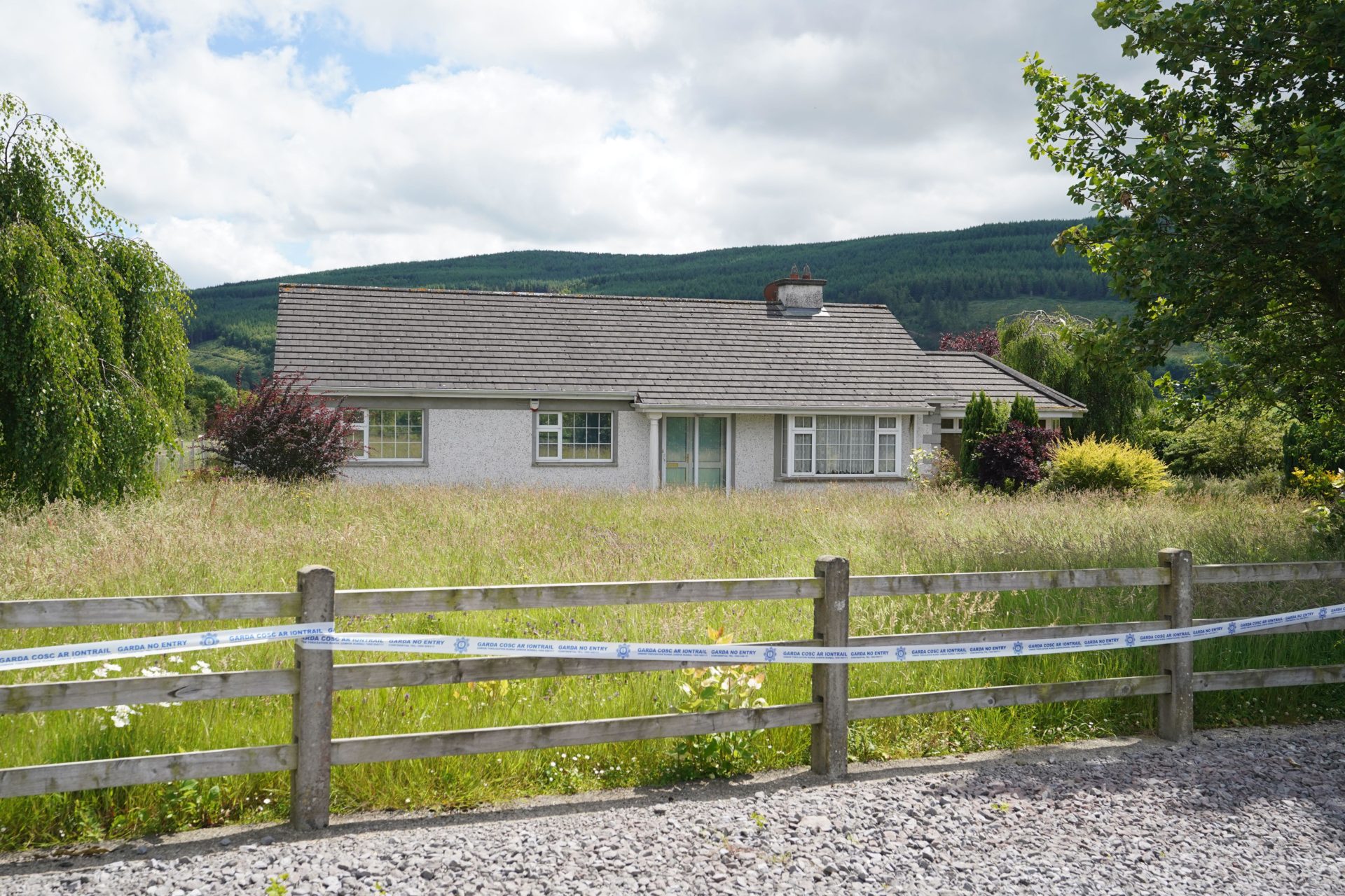 Enclosure in BallyherberryEnclosure · 593 yd
 The GarrisonCastle, tower house · 630 yd
 Enclosure in Rathclogh SouthEnclosure · 875 yd
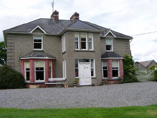 Rathmorehouse · 929 yd
 Kill Church (in ruins)Church · 1045 yd
 Meldrum Castle (ruins)Castle · 1485 yd
 Ballinure HillMountain / peak · 2.1 mi
 Taylor's WoodWood · 2.1 mi
 Ballyknock HillMountain / peak · 2.6 mi
 Cashel Folk MusuemMuseum · 3.5 mi
 The Rock Of CashelVisitor information · 3.6 mi
 Cormac's ChapelHeritage attraction · 3.6 mi