What is recorded here
Rathbride is a hidden enclosure, lost beside its own burial ground on the Curragh. O'Donovan drew it, yet no map has marked it since. It may still lie beneath grass or memory, waiting for someone to stop looking for a landmark and start listening for a shape.
On his sketch plan of field monuments on the Curragh, O'Donovan shows an enclosure, annotated 'Rathbride', in the SW portion of that townland (Herity 2002, 203). The monument is not recorded on any edition of the OS 6-inch maps (1839 and 1939). The sketch plan suggests the enclosure lay in the vicinity of Rathbride Burial Ground (KD022-007----), but it has not been located.
Compiled by: Gearóid Conroy
Date of upload: 02 December 2011
The monument record does not grant public access. Check the route and ask the landowner before entering private land.
- What survives
- Recorded monument
Places near here
 Enclosure in RathbrideEnclosure · 902 yd
 Pedestal of a Cross(Called the Wart Stone)Cross, Wayside cross · 1292 yd
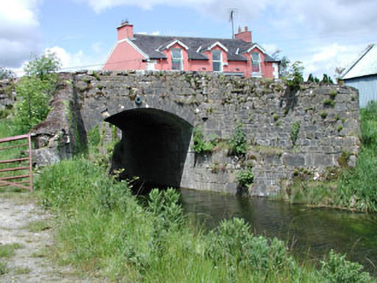 bridgebridge · 1.0 mi
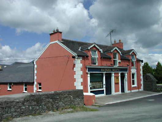 The Gaelic Househouse · 1.0 mi
 Pollardstown Fen Nature ReserveNature reserve · 1.1 mi
 TumulusCastle, motte and bailey · 2.0 mi
 Chair of KildareCastle, unclassified · 2.2 mi
 Saint Fiachra's GardenHeritage attraction · 3.1 mi
 Bee-bee treeBee-bee tree · 3.2 mi
 Horse MuseumMuseum · 3.3 mi
 Bithia Mary CrokerMemorial · 5.6 mi
 Grand Canal WayVisitor information · 6.0 mi