
What is recorded here
Faintly visible on Google Earth aerial imagery (28-6-2018) in level tillage: a square area (L c. 52m; Wth c. 52m) defined by the cropmark of a fosse (Wth 2-3m) with a possible entrance gap (Wth c. 3m) almost midway along the eastern side. A later field boundary runs N-S immediately to the W.
See attached image: KD022-125-----_01 Snip of Google Earth aerial imagery (28-6-2018)
Compiled by: Gearóid Conroy based on details provided by Jean-Charles Caillère.
Date of upload: 31 July 2023
The monument record does not grant public access. Check the route and ask the landowner before entering private land.
- What survives
- Recorded monument
Places near here
 Pedestal of a Cross(Called the Wart Stone)Cross, Wayside cross · 1119 yd
 RatheenanairyArchaeological place · 1284 yd
 Pollardstown Fen Nature ReserveNature reserve · 1620 yd
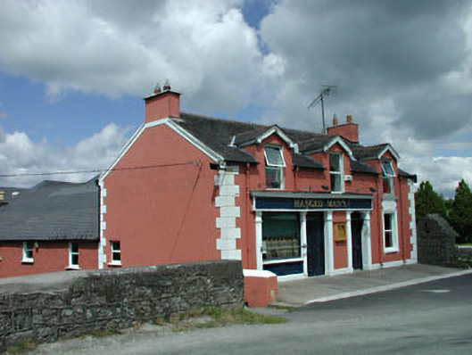 The Gaelic Househouse · 1.4 mi
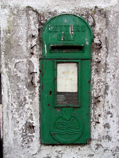 post boxpost box · 1.6 mi
 TumulusCastle, motte and bailey · 1.7 mi
 Castle in ruinsCastle, Anglo-Norman masonry castle · 2.4 mi
 Saint Fiachra's GardenHeritage attraction · 2.8 mi
 Bee-bee treeBee-bee tree · 2.9 mi
 Horse MuseumMuseum · 3.0 mi
 Bithia Mary CrokerMemorial · 6.0 mi
 Grand Canal WayVisitor information · 6.4 mi
Other information
Photo: Credit not shown in the picture search · Rights wording not checked; contact us if this picture should be removed