
What is recorded here
What might be a mill and two houses are shown on a Down Survey barony map (1655-6) of Ida barony, Co. Kilkenny, close to the river at Raheen in Rosbercon parish. The precise location of this house is not known. For the Down Survey map see this web-page accessed on 4 April, 2014: http://downsurvey.tcd.ie/down-survey-maps.php#bm=Ida+Igrin+Ibercon&c=Kilkenny One may be on the site of Chilcomb House marked on the 1839 and 1940 eds of the OS 6-inch map that has been removed without trace. Otherwise, it remains unlocated.
Compiled by: Michael Moore
Date of upload: 7 August, 2012
This remains an important historical record, but the official description says the monument is no longer visible or has been destroyed. The monument record does not grant public access. Check the route and ask the landowner before entering private land.
- What survives
- No visible remains or recorded as destroyed
Places near here
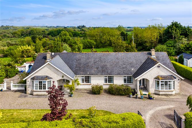 Sweathouse in Ballyroe UpperSweathouse · 596 yd
 Mac Murrough Cottagefarm house · 693 yd
 Mac Murrough Housewalled garden · 1049 yd
 Monastery (in ruins)Ecclesiastical site · 1470 yd
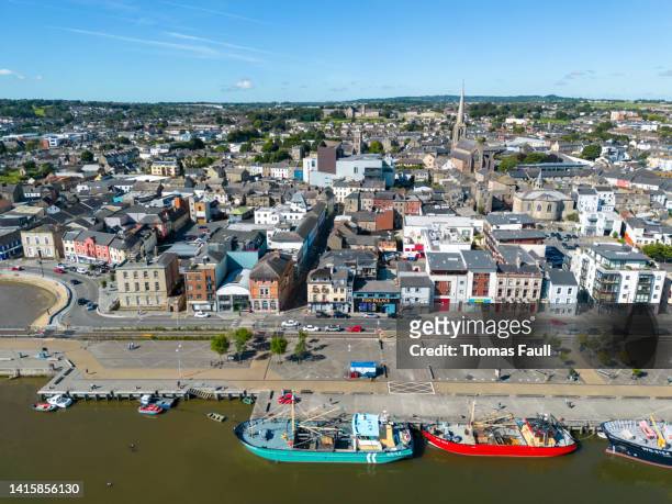 IndicatedBawn · 1614 yd
 Castle (in ruins)Castle, unclassified · 1.3 mi
 Forest Of The DunbrodyForest · 1.3 mi
 Lacken HillMountain / peak · 1.4 mi
 O'NeillMemorial · 1.7 mi
 DunbrodyHeritage attraction · 1.8 mi
 Ros Tapestry ExhibitionGallery · 1.8 mi
 Crutched FriarsMemorial · 1.8 mi
Other information
Photo: Credit not shown in the picture search · Rights wording not checked; contact us if this picture should be removed