What is recorded here
Located just off the crest of the N-facign slope of a N-S ridge. There is evidence of a bawn (dims. 35m E-W; c. 60m N-S) at Mountgarrett tower house (WX029-009----) which had surviving walls in 1839 (Hore 1900-11, vol. 1, 130) and is visible as low scarps to the SW of the tower house.
From the National Monuments Service (Archaeological Survey of Ireland) record WX029-009001
Places near here
Photo credits
- National Inventory of Architectural Heritage
- Hywel Williams, Geograph · CC BY-SA 2.0
- Didier Descouens, Wikimedia Commons · CC BY-SA 4.0
- A.-K. D., Wikimedia Commons · CC BY-SA 4.0
- Mike Searle, Wikimedia Commons · CC BY-SA 2.0
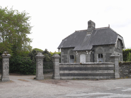 Woodville HouseGate lodge · 335 yd
 Mac Murrough HouseWalled garden · 779 yd
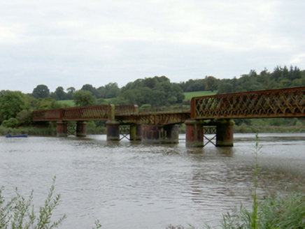 Barrow ViaductViaduct · 857 yd
 Rosemount HouseFolly · 866 yd
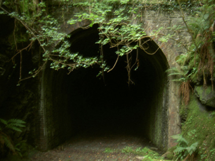 tunnel872 yd
 Forest Of The DunbrodyForest · 2.2 mi
 Lacken HillMountain / peak · 2.3 mi
 Hawthorn2.4 mi
 Holy well in BallyreddyHoly well · 3.6 mi
 Rathclea Church (Site of)Church · 3.6 mi
 Coolhill Castle (in ruins)Castle, tower house · 3.7 mi
_-_geograph.org.uk_-_7608906.jpg/250px-Castles_of_Leinster,_Tellarought,_Wexford_(1)_-_geograph.org.uk_-_7608906.jpg "Photo: Mike Searle, Wikimedia Commons · CC BY-SA 2.0") Castle (in ruins)Castle, tower house · 5.3 mi
Castle (in ruins)Castle, tower house · 5.3 miMore castles and forts in County Wexford · All of County Wexford

What do you know about this place?Tap to add a comment or ask a question