
What is recorded here
Identified from an aerial survey by Markus Casey who described this possible monument as a narrowing headland (L 55m; Wth 18m) which juts S from Ballydowane Bay E of St John’s Island. A series of three low earthen banks, almost reduced to a slight scarp, and two shallow intervening ditches are visible across the neck of the promontory. A low earthen perimeter fence has almost fallen into the sea. The interior undulated slightly with a single bank running diagonally across the garth hinting at earlier internal divisions or structures. Vertical cliffs surround the promontory and caves beneath the headland have almost undermines the isthmus of the promontory. Sea ricks to the S suggest the headland was once larger. Many of the nearby headlands have been similarly defenced, this being a very degraded example. The promontory is located at the interface between old red sandstone to the W and rhyolite (a green/blue granite) to the E. The area consists of fertile pasture with sheer 150’ high cliffs. (Casey 2001)
Compiled by: Jean Farrelly
Date of upload: 24 November 2021
The monument record does not grant public access. Check the route and ask the landowner before entering private land.
- What survives
- Recorded monument
Places near here
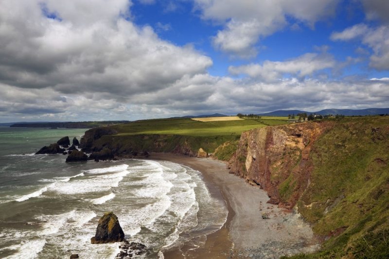 Hut site in Ballydowane EastHut site · 144 yd
 Promontory fortPromontory fort, coastal · 199 yd
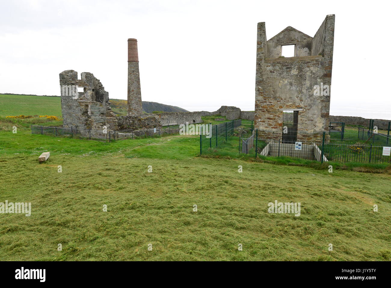 Mine in BallynarridMine · 419 yd
 Ballydowane CoveBeach / strand · 602 yd
 TempleobrickChurch · 730 yd
 Tra na mBoBeach / strand · 1608 yd
 Trá na mBóVisitor information · 1733 yd
 Bunmahon Miners' CottagesVisitor information · 1.4 mi
 Bunmahon StrandBeach / strand · 1.4 mi
 Copper CoastCoastal geological landscape · 1.6 mi
 Mandevilles RockCastle, unclassified · 2.6 mi
 Castle (in ruins)Castle, unclassified · 3.3 mi
Other information
Photo: Credit not shown in the picture search · Rights wording not checked; contact us if this picture should be removed