What is recorded here
Moss and rain have erased the exact ground where these stones lay, but they cannot erase the human hands that shaped them. Near White Mills in County Louth, a lost person cut flint into a needle point and small cores, perhaps preparing a dart for hunting or a knife for skinning. That unknown life still lives inside the sharp edges, waiting for someone to hold them and imagine the hunger, patience and courage behind each strike.
The following description is derived from both the published 'Archaeological Inventory of County Louth' (Dublin: Stationery Office, 1986) and the 'Archaeological Survey of County Louth' (Dublin: Stationery Office, 1991). In certain instances the entries have been revised and updated in the light of recent research.
Date of upload/revision: 17 July 2007
Mixed assemblage of Mesolithic material collected from the vicinity of White Mills, including a type B needle point and several single-platform cores, a lammelle a cran, flake cores and a petit tranchet derivative form. McCrainor collection (Woodman 1978, 309, fig. 94:2).
The monument record does not grant public access. Check the route and ask the landowner before entering private land.
- What survives
- Recorded monument
Places near here
 Graveyard in Richardstown (ardee By., Richardstown Par.)Graveyard · 81 yd
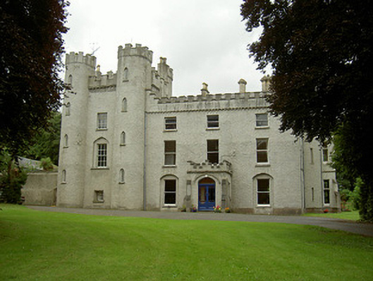 Richardstown Castlecastle/fortified house · 118 yd
 Rocjardstown CastleCastle, tower house · 134 yd
 Monterey CypressMonterey Cypress · 140 yd
 Church in ToberdoneyChurch · 849 yd
 Enclosure in Richardstown (ardee By., Richardstown Par.)Enclosure · 892 yd
 IndicatedHoly well · 912 yd
 Drumcashel FortCastle, motte · 1.1 mi
 Graveyard in StickillinGraveyard · 1.8 mi
 Rathescar Lakeside WalkWood · 2.4 mi
 Drummeenagh HillMountain / peak · 4.2 mi
 Tullydonnell HillMountain / peak · 4.8 mi