What is recorded here
Locating in blanket bog, on the flat top of a ridge flanked by the Easkey River valley to W and the valley of the Fiddanduff stream to E. This record was not listed in the SMR (1989). It refers to a ‘post row’ first noted in the early 1990’s and listed in the RMP (1995) at IG 139630 326620 (equating to ITM 539594 826627): the source of this record is unknown and there is no field report from the 1990’s on file. The area was inspected in 2014 but no trace of the post row was found. It is likely that the monument was incorrectly located at the time of the original inspection. Two other post rows (SL017-084001-; SL017-084003-) were recorded in the same area.
Compiled by: Jane O'Shaughnessy
Date of upload: 30 July 2014
The monument record does not grant public access. Check the route and ask the landowner before entering private land.
- What survives
- Recorded monument
Places near here
 Bellanaboy (ruins)Settlement cluster · 1.5 mi
 Giant's GriddleArchaeological place · 1.6 mi
 MeenamaddoMountain / peak · 2.5 mi
 Sruffaungarve TopMountain / peak · 3.1 mi
 White RockNamed rock · 3.5 mi
 CastleCastle, unclassified · 3.6 mi
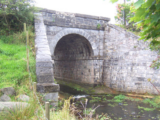 bridgebridge · 4.1 mi
 Camphill Househouse · 4.3 mi
 Site of Dunneill CastleCastle, unclassified · 5.0 mi
 The Turf Stack RockNamed rock · 5.1 mi
 Lough Talt TrailVisitor information · 5.9 mi
 Grave of the Black PigArchaeological place · 7.7 mi