What is recorded here
Depicted as a cluster of three dwellings on the 1837 edition of the OS 6-inch map where they are named 'Bellanaboy (ruins)': the name is not in antiquarian typeface. Wood-Martin in his 'History of Sligo, county and town (1882, vol. 1, pp. 115-6) refers to 'a map of the barony, circum. 1609,' where 'twenty-three castes were marked. Most of these have totally disappeared … there are slight remains of buildings at ….. Bellanaboy…' The compilers of the SMR (1989) identified the 'buildings' marked on the OS 6-inch map (1837) as the site of this castle. On inspection in 1993 no visible remains of any structure resembling a 'castle' were found at this location. It is impossible to know if Wood-Martin ever visited this site; it is possible that he inferred a connection between the location of the 'castle' on the 1609 map with the name recorded on the OS 6-inch map. It is evident that the buildings represented on the OS 6-inch map were in ruins at the time of the survey (1837) though it is impossible to determine their age. The possibility that they could be of pre-1700 AD date cannot be ruled out.
Revised by: Paul Walsh
Date of upload: 25 August 2011
The monument record does not grant public access. Check the route and ask the landowner before entering private land.
- What survives
- Recorded monument
Places near here
 MeenamaddoMountain / peak · 1.5 mi
 Sruffaungarve TopMountain / peak · 2.9 mi
 Giant's GriddleArchaeological place · 3.0 mi
 Enclosure in Carrownaglogh (gallen By.)Enclosure · 3.9 mi
 White RockNamed rock · 4.0 mi
 Mass RockNamed rock · 4.1 mi
 Lough Talt TrailVisitor information · 4.3 mi
 CastleCastle, unclassified · 4.7 mi
 Carrick WoodWood · 5.0 mi
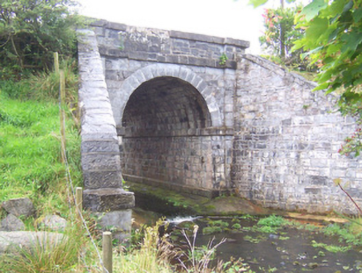 bridgebridge · 5.2 mi
 New WoodWood · 5.2 mi
 Penitential station in RathreedaunPenitential station · 5.5 mi
Other information
Photo: Credit not shown in the picture search · Rights wording not checked; contact us if this picture should be removed