What is recorded here
No visible surface trace remains. The earthwork in Petestown appears only as a hidden line beneath grass and memory, waiting for rain or digging to reveal whether it was a boundary, a road or a forgotten field edge.
The following description is derived from both the published 'Archaeological Inventory of County Louth' (Dublin: Stationery Office, 1986) and the 'Archaeological Survey of County Louth' (Dublin: Stationery Office, 1991). In certain instances the entries have been revised and updated in the light of recent research.
Date of upload/revision: 17 July 2007
Marked as 'fort' on 1835 ed. of OS 6-inch map. No visible surface trace.
The monument record does not grant public access. Check the route and ask the landowner before entering private land.
- What survives
- Recorded monument
Places near here
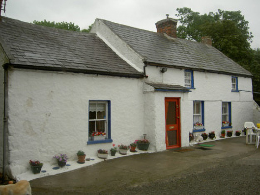 farm housefarm house · 274 yd
 Enclosure in Grange OldEnclosure · 537 yd
 Enclosure in BallugEnclosure · 971 yd
 Ballug CastleCastle · 1186 yd
 Grange Abbey (in Ruins)Church · 1186 yd
 The BushPicnic place · 1346 yd
 Grange UpperMountain / peak · 1.6 mi
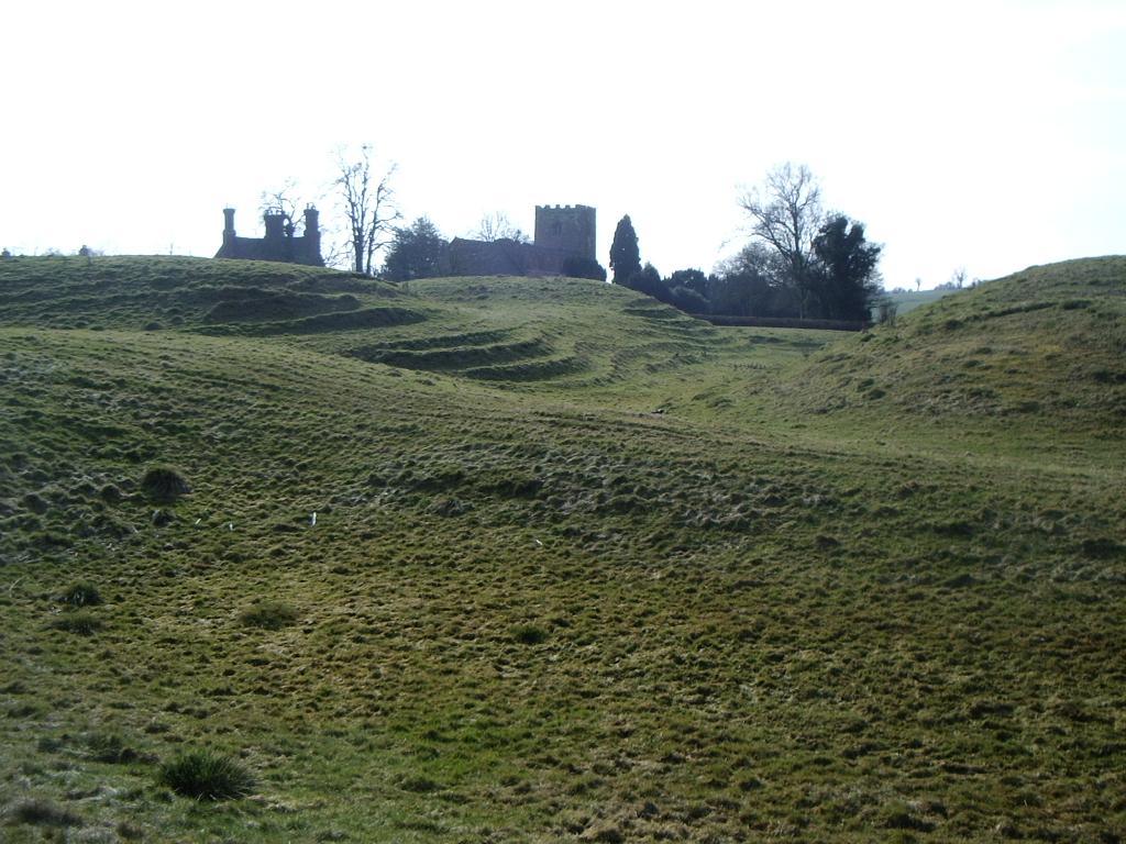 CastleCastle, motte · 1.8 mi
 Cooley PointHeadland · 1.9 mi
 St James WellSpring · 1.9 mi
 BarnavaveMountain / peak · 2.4 mi
 Carlingford - Loop 1A- Commons LoopWalking route · 2.8 mi