What is recorded here
Mnemo opened the first chamber and dropped the light. The chamber was not empty. A woman sat at a narrow desk, facing a black screen that showed the chamber itself. Her hands moved quickly over a small keyboard. She heard the door and turned without surprise. chamber one, she said. Most people discover that they are already inside the woman's program. Mnemo asked what the program wanted. The woman wanted to be known.
A field and a mound here are known as 'Parkananchory'. The mound appears to be earthen and is almost square in shape (each side 19m). It is up to 1m in height. It is said to be a burial place of a cleric and is located on good grassland.
The above description was derived from the 'Archaeological Survey of County Donegal. A description of the field antiquities of the County from the Mesolithic Period to the 17th century.' Compiled by: Brian Lacey with Eamon Cody, Claire Cotter, Judy Cuppage, Noel Dunne, Vincent Hurley, Celie O'Rahilly, Paul Walsh and Seán Ó Nualláin (Lifford: Donegal County Council, 1983). In certain instances the entries have been revised and updated.
Date of upload: 22 September 2008
A Neolithic or early Bronze Age burial mound, possibly a cairn or barrow; its local association with a cleric suggests later legendary or ecclesiastical significance.
The monument record does not grant public access. Check the route and ask the landowner before entering private land.
- What survives
- Recorded monument
Places near here
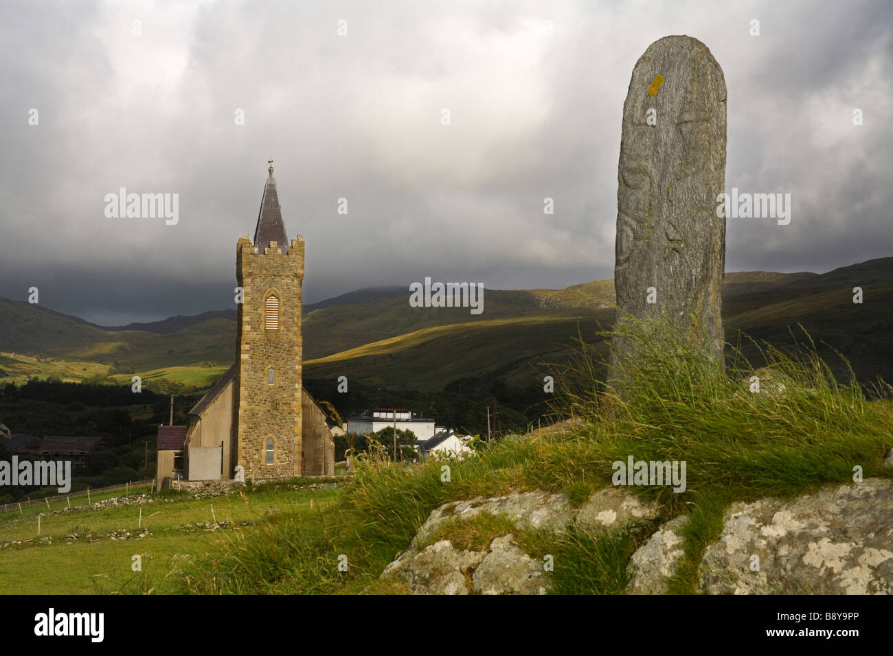 Clonconwal Stone RingfortFairy fort / stone ringfort · 866 yd
 Destroyed Garvegort Glebe Fairy FortFairy fort / ringfort · 1400 yd
 Owenea Bridgebridge · 1.6 mi
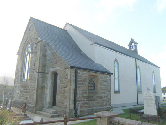 St. Conall's Church of Ireland Churchchurch/chapel · 1.9 mi
 John DohertyMemorial · 2.1 mi
 St. Connell's Museum and Heritage CentreMuseum · 3.7 mi
 Bonny Glen Wood - Bonny Glen walkOfficial walking route · 3.9 mi
 Bonny Glen WoodForest recreation place · 3.9 mi
 Wych ElmWych Elm · 4.0 mi
 Inishkeel Graveyard near GlentiesGraveyard · 4.3 mi
 IllancreeveIslet · 5.0 mi
 Carrickalahagh HeadlandPublicly named cliff or headland · 5.0 mi